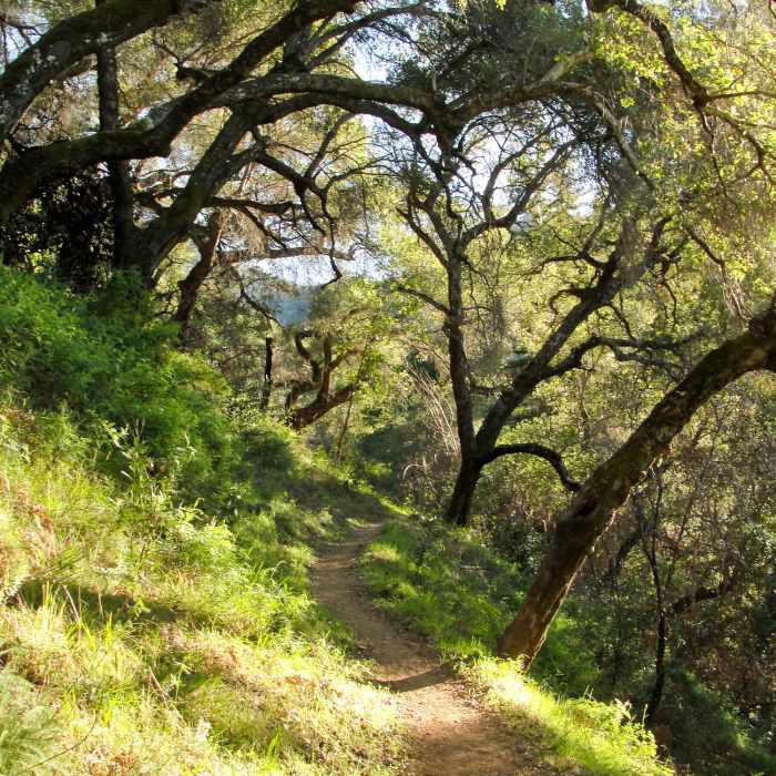
Near Pine Ridge Trail #3E06
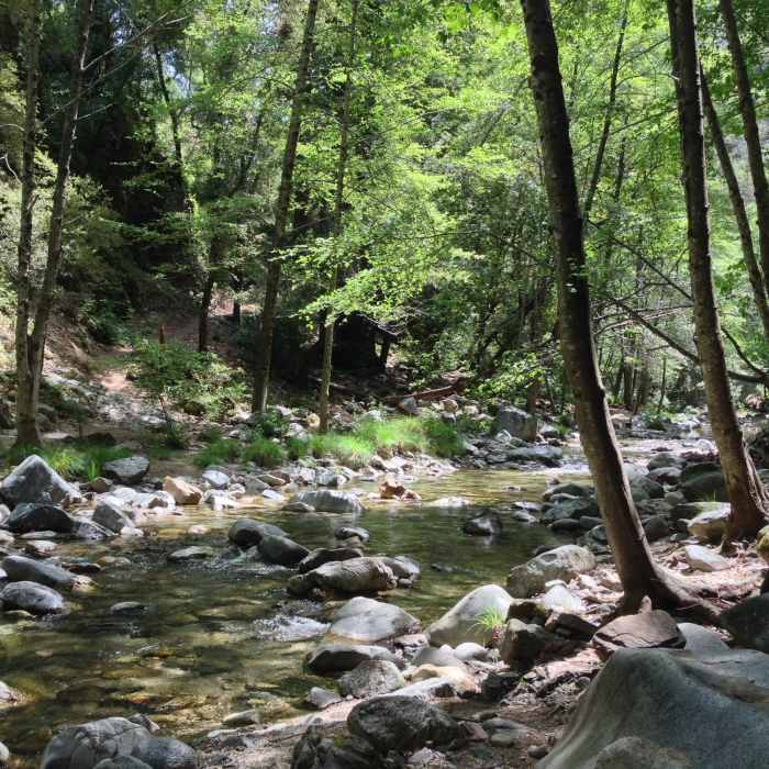
Crosswords at the Big Sur River on the Pine Ridge Trail. Downriver, are the hot springs. Upriver, lies the campsite.
Near Pine Ridge Trail #3E06
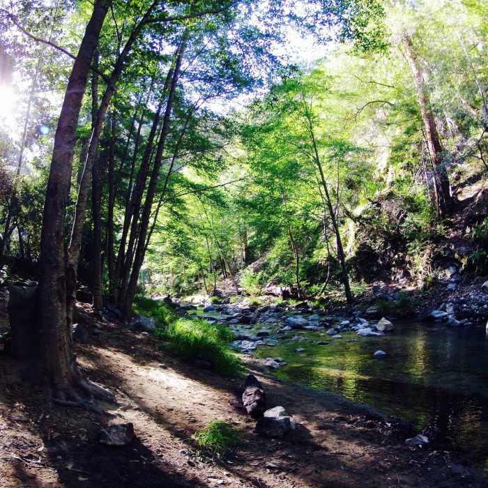
Sunrise along the Big Sur River at the Sykes Hot Springs location.
Near Pine Ridge Trail #3E06
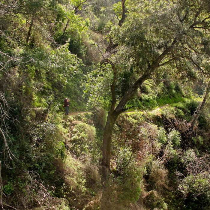
Hiker on Pine Ridge Trail to Sykes Hot Springs
Near Pine Ridge Trail #3E06
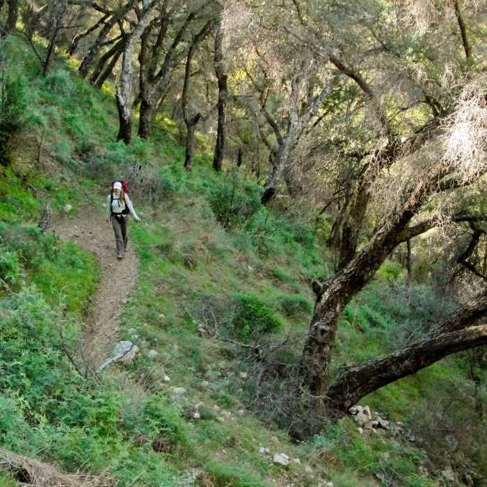
Pine Ridge Trail to Sykes Hot Springs
Near Pine Ridge Trail #3E06
Pine Ridge Trail to Sykes Hot Springs

Looking for more photos?

View All Photos
View Map
Driving Directions
Hike Trail

Pine Ridge Trail #3E06

4.7 (3 Ratings)
A complete traverse of the Ventana Wilderness.
22.4
mi
Distance
8,214
ft
Gain
strenuous
Difficulty
BirdingRiver/CreekSwimmingViewsWildflowersWildlife

Route Details

Flatter
Steeper
22.4mi
Distance
8,214ft
Elevation Gain
4,209ft
Elevation Loss
70%
Max Grade
4,755ft
High Point
281ft
Low Point
Path Type
Point to Point
Description
Completely traversing the Ventana Wilderness from 5,000-foot-high Chews Ridge to Big Sur Station, the Pine !Ridge Trail is the most popular trail in the Ventana Region. Built in 1916 by the Post family of Big Sur, the Pine !Ridge Trail offers hikers and equestrians a complete array of backcountry camps to enjoy. The western half has streamside and redwood-shaded Terrace Creek, Barlow, Sykes and Redwood Camps, while the eastern portion of the trail offers montane conifer and mixed hardwood forested ridges and meadows at Pine Ridge, Divide and Pine Valley camps. With the dedicated and secure parking area at Big Sur Station, the western Pine Ridge trailhead there is the wilderness entry point of choice for many backcountry travelers. While many use it for access to the beautiful riverside camps along the wild and scenic Big Sur River, it also makes possible a number of outstanding loop trips in the Ventana Wilderness. CLICK HERE for Trail Conditions or visit www.hikelospadres.com Click HERE for Sykes Camp and hot springs information.

Route Conditions

Report Conditions
No Condition Reports
Report Conditions

Nearby Hike Routes

Pine Ridge Trail to Sykes Hot Springs

Hike Route

Pine Ridge Trail to Sykes Hot Springs

Dogs Allowed
strenuous
18.99 mi
+4,566 ft
Molera Beach Super Loop

Hike Route

Molera Beach Super Loop

River/Creek
moderate
6.88 mi
+1,324 ft
Beach Trail

Hike Route

Beach Trail

River/Creek
easy
0.97 mi
+14 ft
Headlands Trail

Hike Route

Headlands Trail

Views
easy
2.54 mi
+146 ft
Headlands to Creamery Meadow Loop

Hike Route

Headlands to Creamery Meadow Loop

Views
easy
2.64 mi
+104 ft
Ewoldsen Loop

Hike Route

Ewoldsen Loop

Birding
moderate
4.28 mi
+1,609 ft
Contributors
Brian Smith
