Ready to explore this trail?
View Trail Map in AppFort Donelson National Battlefield closes at sunset everyday, so check in at the visitor center for current hours as they change throughout the year.
Path Type
Point to Point
The River Circle Trail provides a loop for the Fort Donelson Trail in Fort Donelson National Battlefield. The trail departs from the end of the Eddyville Spur Road and descends into the woods, at times steeply. The trail is well marked with blue arrows to keep you on track as the trail is a rough dirt track.
The trail drops down toward the Cumberland River, giving you glimpses of the river through the trees, but no unobstructed views. As you wander along the trail near the river, keep your eyes out for birds like blue herons, Bald Eagles, and a variety of ducks that call the river home. After about half a mile, the trail climbs steeply up the hillside and around some of the creek valleys that pour into the Cumberland River.
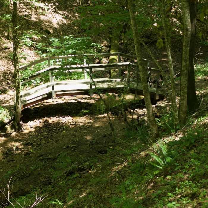
The trail then drops back down toward the river, crosses a wooden bridge, and again follows close to the river before it arrives at the junction with the Fort Donelson Trail. From here, you can continue forward to the Water Batteries, which offer you a great view of the Cumberland River. Here, you can learn about how the Confederate forces repelled Union ships on Valentines Day, 1862.
After taking in the views, you have a couple options. You can retrace your steps back to the visitor center, or take the Fort Donelson Trail back up to the Visitor Center, which makes the total hike 3.8 miles. Or you can continue ahead on the Fort Donelson trail for another 1.6 miles and end back up on the back side of the visitor center instead of where you started.
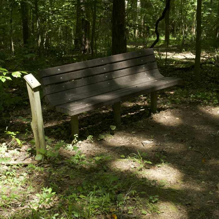
While the trail does not have great views until the end, it is a good alternative to driving through the park, and allows visitors to stretch their legs after riding to get to the battlefield, while giving them an idea of what it was like to move around the area. There are several benches along the trail to provide a place to rest as you make your way downhill.
No Condition Reports
Contributors

