Ready to explore this trail?
View Trail Map in AppPath Type
Point to Point
How cool: This trail visits the westernmost point on the US mainland (of the contiguous 48 states)! This is also a popular area for backpackers with permits who can spend a few magical nights savoring the coastal experience. The Cape Alava Trail is well maintained and composed mostly of (sometimes slippery) boardwalk and sections of stairs. Because the change in elevation on this trail is minimal, it is suitable for families and folks of all abilities.
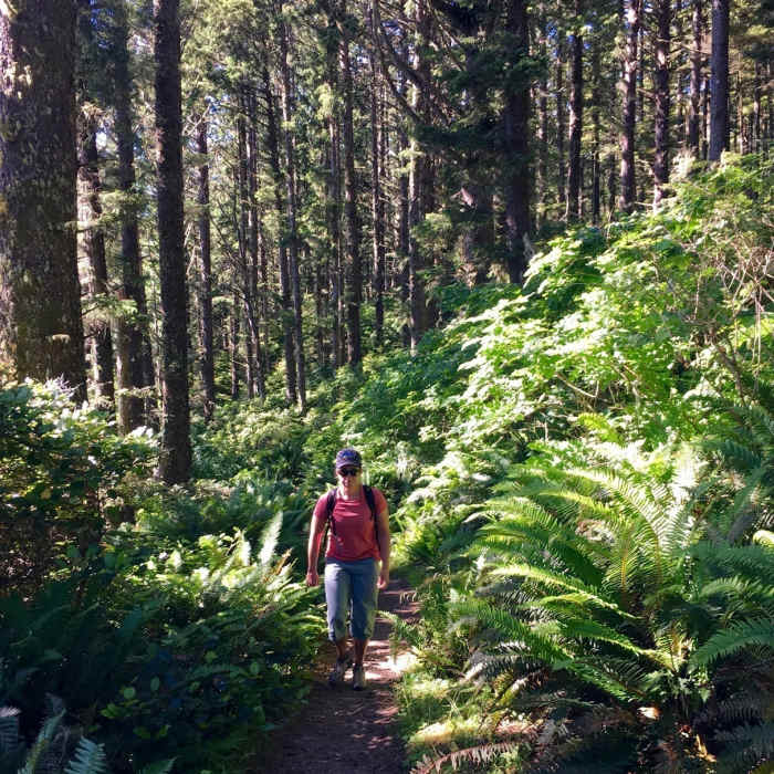
This out-and-back trail starts from the parking area and seasonal ranger station off Seafield Road. Cross the Ozette River and take the right fork onto the Cape Alava Trail heading west. Traverse mostly flat ground with a few rolling sections through ferny, wet forest. The raised boardwalk keeps you out of the boggy areas. The last part of the trail descends a few flights of stairs over the bluff to the beach - use the rope to steady yourself as needed.
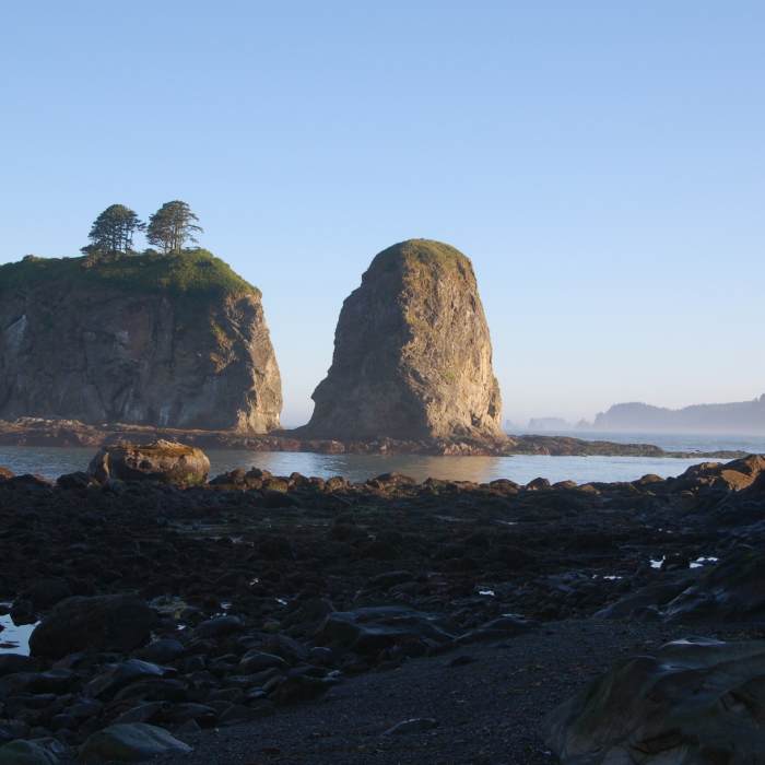
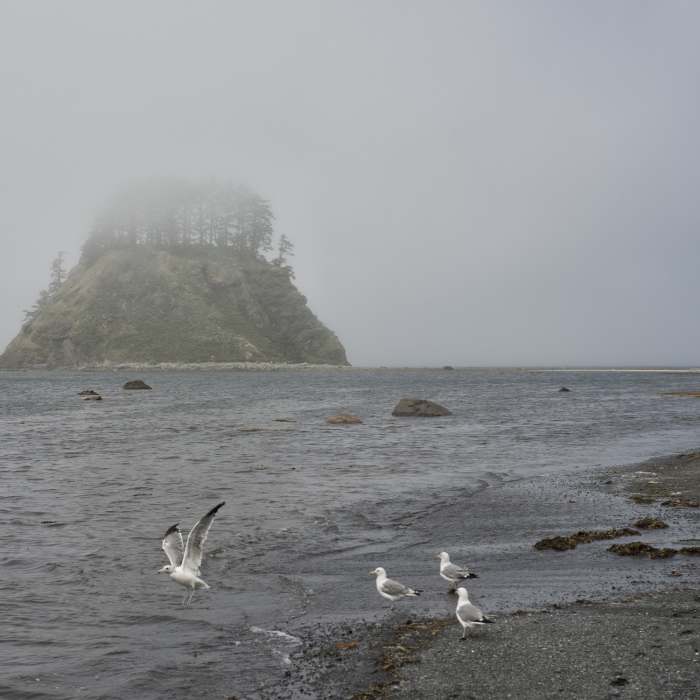
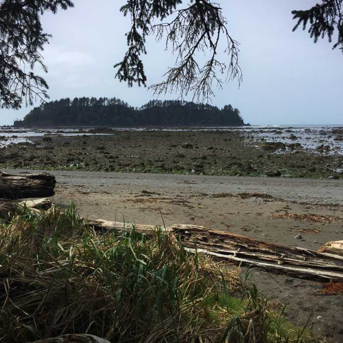
At the beach, there are many campsites scattered about and a pit toilet. Depending on the tides, the shoreline can be a wonderful place for exploring tide pools and general beach combing. Check the tide tables with the ranger at the parking lot.
Just to the north, on the sheltered side of Cape Alava, is an important archaeological site. In the 1960's the coastline eroded to expose Ozette Indian stone artifacts, longhouses, and bones - some 2000 years old. In all, archaeologists recovered 50,000 pieces which are now housed in the Makah Museum in Neah Bay. After excavation was completed, the scientists reburied the site and planted vegetation.
No Condition Reports
North Wilderness Beach Route: Shi Shi Beach to La Push
North Wilderness Beach Route: Shi Shi Beach to La Push
Contributors

