Ready to explore this trail?
View Trail Map in AppBring bear spray. Trail not on most maps.
Path Type
Point to Point
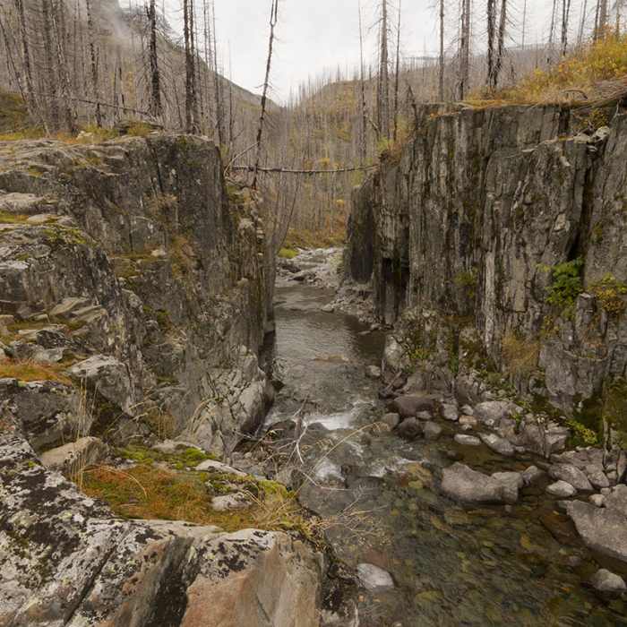
After a fire came through and burned the area, including the patrol cabin, the trail up Mineral Creek is no longer maintained. Once the main route up to the Highline Trail, a reroute made years ago has changed this trail from a common thoroughfare to a rarely used path. The reroute turned the Highline Trail to Flattop Mountain, which this trail comes off of. The trail is mainly kept on the books for the snotel site near the old cabin due to historical records which is accessed on skis when snow covers it.
For those sadistic souls willing to brave it to the old patrol cabin foundation, expect many creek crossings, confusing game trails, and enough downfall for a lifetime. Route finding skills are imperative as you work your way up the drainage. May be easiest to just put on waders later in the year and head directly up the creek.
Views are nice in spots.
This content was created by Jake Bramante of Hike 734. Visit https://www.hike734.com for more expert Glacier content and maps that help you decide which trail to hike.
No Condition Reports
Continental Divide Trail: Grinnell and Lake Josephine Alternate
Continental Divide Trail: Grinnell and Lake Josephine Alternate
Contributors

