Ready to explore this trail?
View Trail Map in AppBring bear spray.
Path Type
Loop
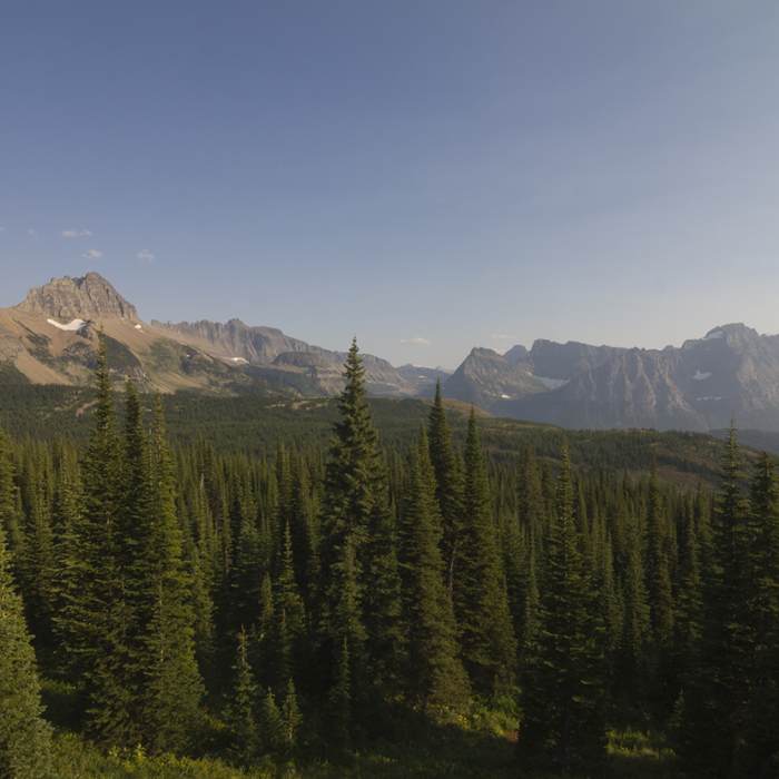
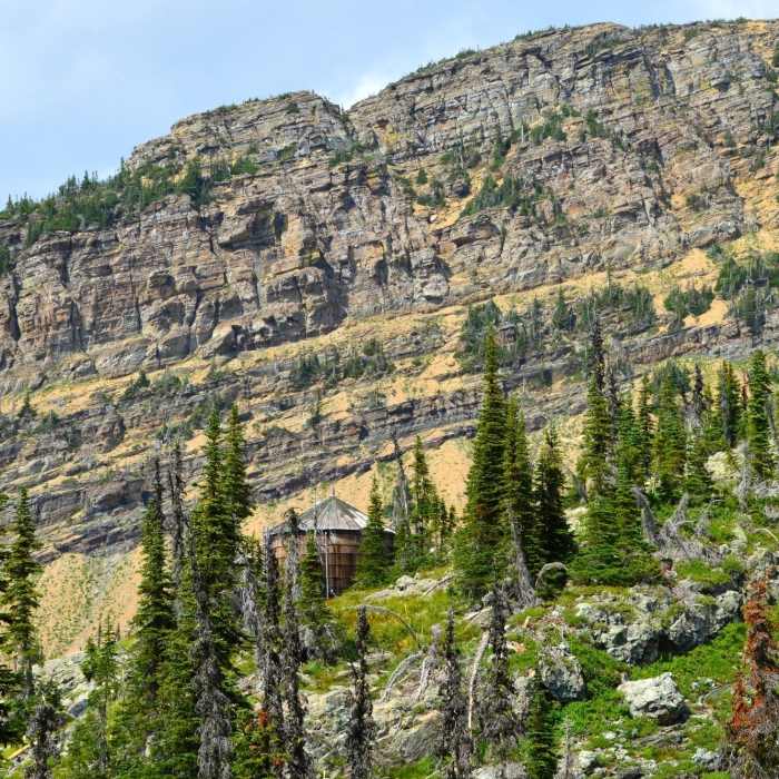
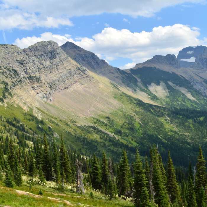
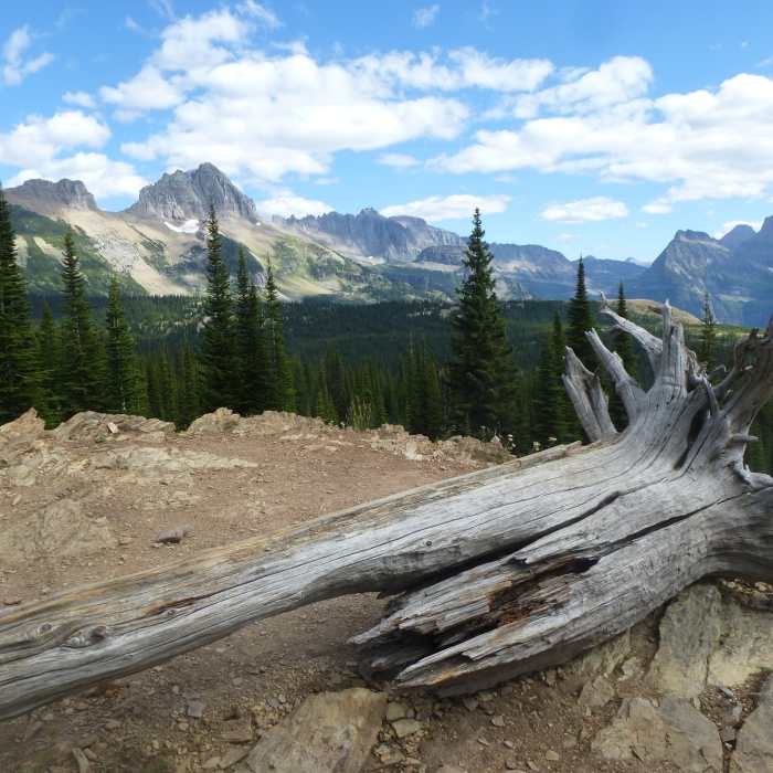
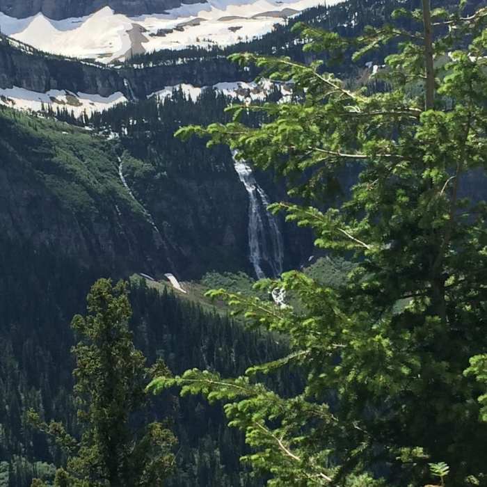
The Loop on Going-to-the-Sun Road is a popular stop in Glacier National Park because of its incredible views of the McDonald Creek Valley and surrounding mountains like Heaven's Peak. If you park or get off the shuttle here, it is worth hiking a short out-and-back on Loop Trail to get a slightly different and uncrowded view. This is one of the more popular moderate hikes in Glacier, but mostly because of its access to other trails than for its own sake. It is labeled on some maps as Granite Park Trail, but most signs in the park refer to it as Loop Trail, so called because it begins from Going-to-the-Sun Road at the hairpin turn known as the the Loop. The nomenclature is a bit confusing, because the trail on its own does not make a loop, but it can be used along with Highline Trail and park shuttle service between the Loop and Logan Pass to complete a circuit. Beginning from the the Loop Trailhead, the first half-mile is rolling terrain through a fire-scarred forest. Soon the trail begins to sharply switchback uphill and eventually reaches unburned evergreen forest with alternating shady groves and open meadows. Views are fantastic the whole way. After 4 miles of nearly all uphill, the trail reaches Granite Park Chalet and the junction with Highline Trail. From this intersection you can also keep climbing to Swiftcurrent Pass. Take a rest and enjoy the vista from the chalet before continuing on your route or returning back down to the road.
No Condition Reports
Continental Divide Trail: Grinnell and Lake Josephine Alternate
Continental Divide Trail: Grinnell and Lake Josephine Alternate
Contributors

