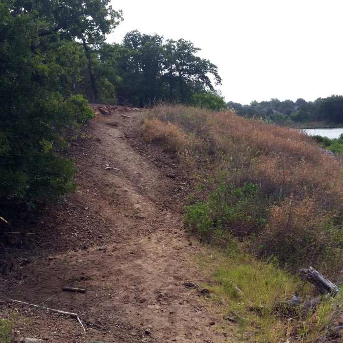
Near South Pond Trail
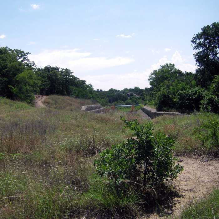
Spillway on Main Pond Trail en route to Main Pond
Near South Pond Trail
Towards the top of Bluff Trail
Near South Pond Trail
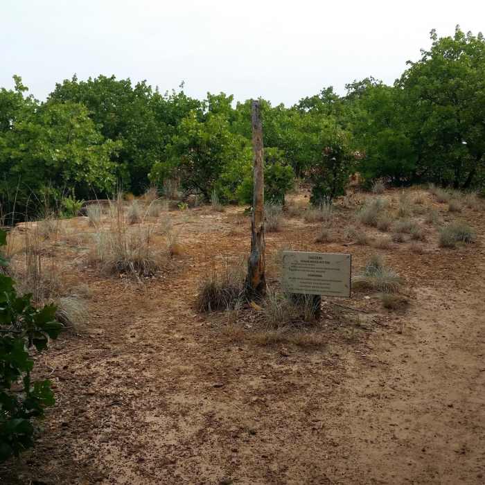
Top of the sandstone bluff "Kennedale Mountain"
Near South Pond Trail
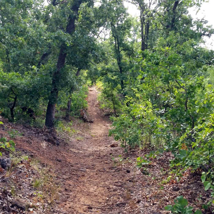
Part of the Main Pond Trail goes through oak forest
Near South Pond Trail
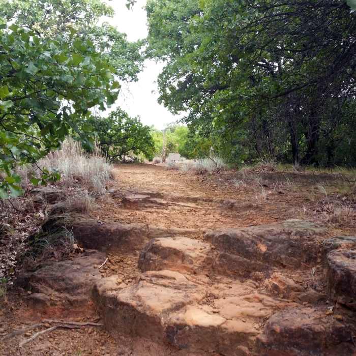
Little bit of a step-up close to the main pond

Looking for more photos?

View All Photos
Driving Directions
Hike Trail

South Pond Trail

4.0 (1 Rating)
South Pond Trail is a wide concrete track that's wheelchair accessible.
0.2
mi
Distance
ft
Gain
easy
Difficulty
BirdingLakeWildflowersWildlife

Route Details

Flatter
Steeper
0.18mi
Distance
0ft
Elevation Gain
22ft
Elevation Loss
5%
Max Grade
607ft
High Point
584ft
Low Point
Path Type
Point to Point
Description
South Pond Trail would be perfect for someone who doesn't want to tackle the pebbly or sandy trails. It takes you through a grassy area, and there are woods closer to the pond but not right beside the path. You get to hear and see the sounds of nature just as well as on the hiking paths. There's a picnic area near the trailhead, an educational area with seating next to the pond, and a fishing pier (catch-and-release only!) with seating.

Route Conditions

Report Conditions
No Condition Reports
Report Conditions

Nearby Hike Routes

Cedar Hill State Park Loop

Hike Route

Cedar Hill State Park Loop

Lake
moderate
11.56 mi
+491 ft
Cedar Ridge Loop

Hike Route

Cedar Ridge Loop

Views
moderate
5.53 mi
+736 ft
Northwest Ridge Loop

Hike Route

Northwest Ridge Loop

Birding
moderate
1.58 mi
+134 ft
Goat Island Nature Preserve

Hike Route

Goat Island Nature Preserve

Birding
moderate
7.1 mi
+17 ft
Arbor Hills Nature Preserve

Hike Route

Arbor Hills Nature Preserve

Birding
moderate
3.38 mi
+150 ft
Spring Creek Forest Preserve

Hike Route

Spring Creek Forest Preserve

Birding
moderate
1.62 mi
+44 ft
Contributors
Alene Passerine
