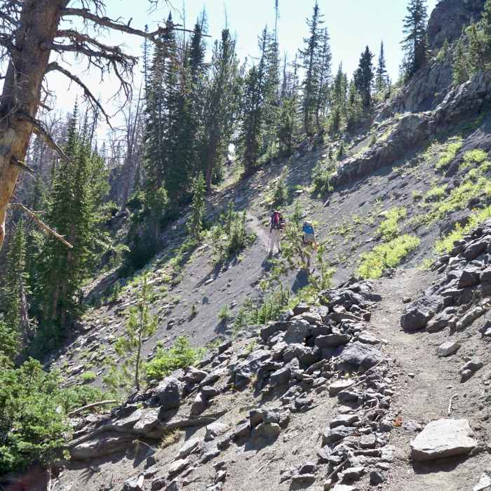
Near Copper Lakes Trail #635
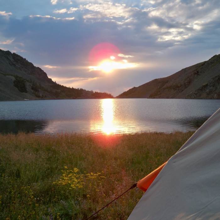
August 2012 - Enjoying a sunrise at copper lake
Near Copper Lakes Trail #635
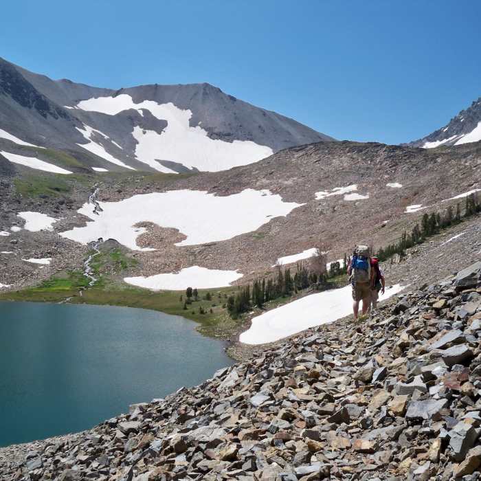
August 2012 - Making it across the north west side of copper lake
Near Copper Lakes Trail #635
August 2012 -
Near Copper Lakes Trail #635
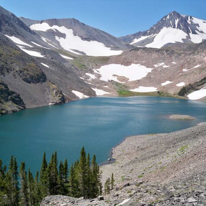
August 2012 - Copper Lake
Near Copper Lakes Trail #635
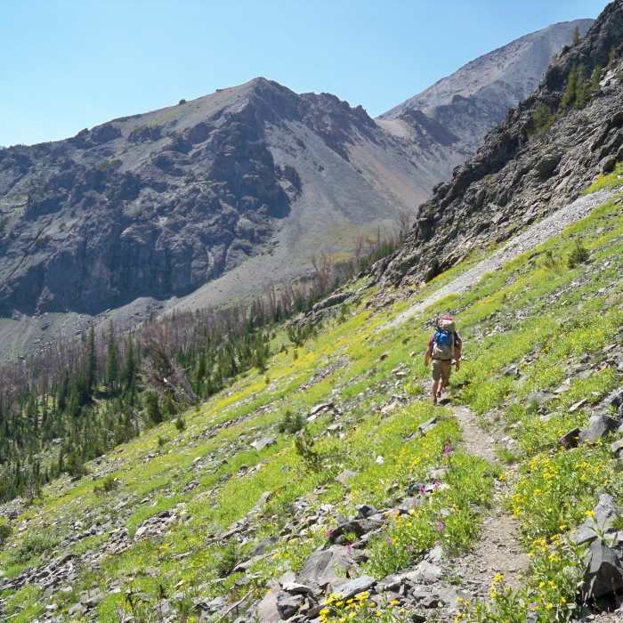
August 2012 - on our way

Looking for more photos?

View All Photos
Driving Directions
Hike Trail

Copper Lakes Trail #635

4.0 (1 Rating)
Challenging but rewarding.
3.2
mi
Distance
2,929
ft
Gain
strenuous
Difficulty
Commonly BackpackedFishingLakeLakefrontRiver/CreekViewsWildlife
Access Issues
Getting to the Trailhead at Lee City can be difficult. Road is narrow, and will require a high clearance 4 wheel drive vehicle. Several stream crossing will be encountered and might not be crossable with a vehicle--you might have to park and continue on foot to the trailhead.

Route Details

Flatter
Steeper
3.16mi
Distance
2,929ft
Elevation Gain
279ft
Elevation Loss
55%
Max Grade
10,133ft
High Point
7,464ft
Low Point
Path Type
Point to Point
Description
Trail begins through tall brush and then clears out to open grass and rocky terrain. Half way up you'll encounter a very steep section of the trail which almost becomes a scramble. Its a bit of a challenge with a full pack. Once you make it to Copper Lake the trail runs on the north side of the lake through a boulder field. Once you reach the west end of the lake, there is a very nice area to camp. You have the option to hike on to the west and climb Stinking Water Peak.

Route Conditions

Report Conditions
Anonymous Adventurer
Closed
Washout Flooding Locked Gate
Gate was still locked about 3.5 miles up the road. Walked down from the gate and couldn’t make it to trail head, River still flowing over road pretty heavily from all the runoff.
Looking for more condition reports?
View History

Nearby Hike Routes

Windy Mountain Trail

Hike Route

Windy Mountain Trail

River/Creek
easy
5.05 mi
+1,929 ft
Crazy Creek Falls

Hike Route

Crazy Creek Falls

Less Crowded
easy
0.32 mi
+152 ft
Island Lake to Beartooth Lake

Classic Hike Route

Island Lake to Beartooth Lake

Lake
moderate
5.51 mi
+216 ft
Island and Night Lakes

Hike Route

Island and Night Lakes

Birding
easy
3.18 mi
+45 ft
Republic Pass

Classic Hike Route

Republic Pass

River/Creek
moderate
8.26 mi
+2,025 ft
Avalanche Peak

Classic Hike Route

Avalanche Peak

Birding
strenuous
4.62 mi
+2,156 ft
Contributors
Mark Adlard Stonepipe Adventures
