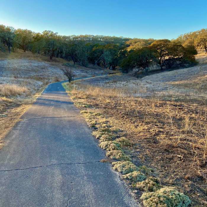
Near Valley of the Moon Trail
Near Beginning of Trail. Paved, easy grade out and back.

Looking for more photos?

View All Photos
Driving Directions
Hike Trail

Valley of the Moon Trail

3.5 (2 Ratings)
The "Main Street" of Sonoma Valley Park. A short hike on a paved path in the valley.
1.3
mi
Distance
ft
Gain
easy
Difficulty
Family FriendlyWildflowers

Route Details

Flatter
Steeper
1.27mi
Distance
0ft
Elevation Gain
120ft
Elevation Loss
10%
Max Grade
343ft
High Point
219ft
Low Point
Path Type
Point to Point
Description
Valley of the Moon Trail is a nice straight shot through the bottom of Sonoma Valley Regional Park. There are plenty of picnic tables and benches along the path and throughout the park to sit down and relax at. This is the longest trail in the park with no challenges to it whatsoever. It's paved, no hills, no obstacles, and plenty wide. Note that some trails in the park go through the park's boundaries. They'll go past barbed wire fences and usually there are signs that say "park boundary." Anything beyond the park's boundaries are uncharted and aren't marked, so don't get lost! There are also many cuts and unmarked spurs that lead outside the park.

Route Conditions

Report Conditions
No Condition Reports
Report Conditions

Nearby Hike Routes

North Sonoma Mtn Trailhead to Sonoma Mtn Peak

Hike Route

North Sonoma Mtn Trailhead to Sonoma Mtn Peak

Spring
moderate
9.15 mi
+1,750 ft
Vista Loop Trail

Hike Route

Vista Loop Trail

River/Creek
moderate
3.43 mi
+746 ft
Bald Mountain Loop

Hike Route

Bald Mountain Loop

Views
strenuous
6.68 mi
+1,880 ft
Sonoma Overlook Trail

Hike Route

Sonoma Overlook Trail

Views
moderate
2.58 mi
+378 ft
Mount Hood via Goodspeed Trail

Hike Route

Mount Hood via Goodspeed Trail

Views
moderate
6.31 mi
+2,242 ft
Lawson Loop

Hike Route

Lawson Loop

River/Creek
moderate
3.45 mi
+723 ft
Contributors
Kevin Bonner
