Near Ridge Trail
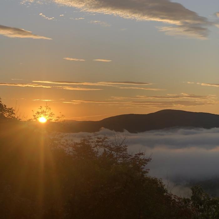
Sunrise on West Rattlesnake
Near Ridge Trail
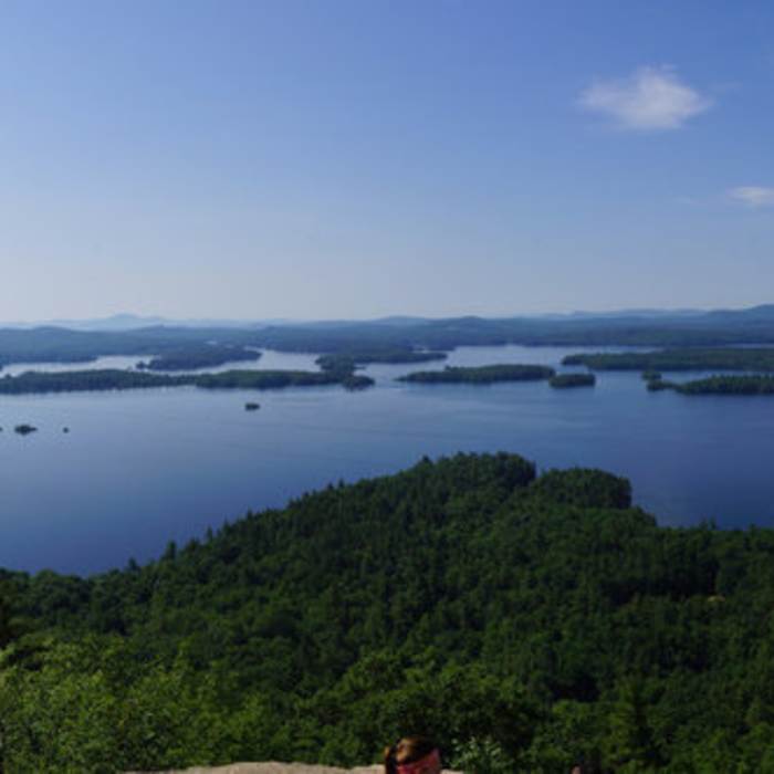
Squam from Rattlesnake.
Near Ridge Trail
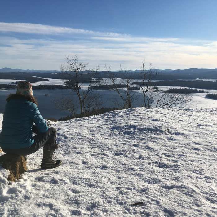
Another beautiful January day in NH.
Near Ridge Trail
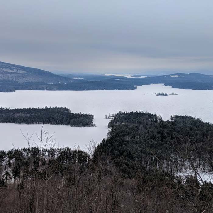
View from East Rattlesnake ledges.

Looking for more photos?

View All Photos
View Map
Driving Directions
Hike Trail

Ridge Trail

4.5 (2 Ratings)
This trail provides the most direct route in-between the Rattlesnakes.
0.7
mi
Distance
235
ft
Gain
moderate
Difficulty
ViewsWildlife

Route Details

Flatter
Steeper
0.75mi
Distance
235ft
Elevation Gain
278ft
Elevation Loss
20%
Max Grade
1,238ft
High Point
980ft
Low Point
Path Type
Point to Point
Description
This trail starts near the ledges on West Rattlesnake and heads east to East Rattlesnake. Follow the green plastic diamonds. This trail passes by the summit of West Rattlesnake (on the left) and descends to the Col Trail. The Col Trail enters from the right, then turns left off the Ridge Trail in a few yards. The trail passes East Rattlesnake Trail (on the right), then passes a view. The trail turns left and ends at the Butterworth Trail. For the true summit of East Rattlesnake, continue to the small hill directly ahead of the Ridge Trail.

Route Conditions

Report Conditions
No Condition Reports
Report Conditions

Nearby Hike Routes

Rattlesnake

Hike Route

Rattlesnake

Birding
moderate
1.73 mi
+397 ft
Squam Range Extended Loop Hike via Crawford Ridgepole Trail

Hike Route

Squam Range Extended Loop Hike via Crawford Ridgepole Trail

Lake
extreme
13.05 mi
+3,488 ft
Red Hill Fire Tower via Red Hill + Cabin Trails

Hike Route

Red Hill Fire Tower via Red Hill + Cabin Trails

Lake
moderate
3.35 mi
+1,356 ft
Mt. Prospect

Hike Route

Mt. Prospect

Dogs Allowed
moderate
3.14 mi
+1,022 ft
Smarts Brook to Atwood Pond

Hike Route

Smarts Brook to Atwood Pond

moderate
4.64 mi
+667 ft
Pine Flat, Yellowjacket and Tri-Town

Hike Route

Pine Flat, Yellowjacket and Tri-Town

easy
3.25 mi
+454 ft
Contributors
David Smith
