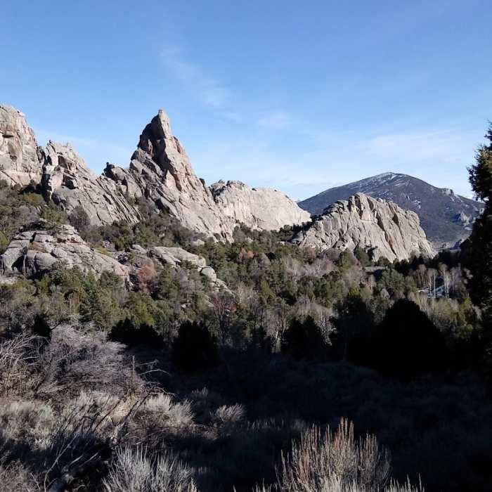
Near North Fork Circle Creek Trail
Looking southeast from the beginning of the ascent to the saddle.

Looking for more photos?

View All Photos
Driving Directions
Hike Trail

North Fork Circle Creek Trail

4.0 (1 Rating)
This is a nice trail through the middle of the City of Rocks spires.
1.8
mi
Distance
1,057
ft
Gain
moderate
Difficulty
River/CreekViews

Route Details

Flatter
Steeper
1.84mi
Distance
1,057ft
Elevation Gain
0ft
Elevation Loss
25%
Max Grade
7,189ft
High Point
6,132ft
Low Point
Path Type
Point to Point
Description
This trail starts from the intersection with Stripe Rock Loop, climbs along the creek part way, before splitting of and ending at a junction with North Fork Springs Loop Trail. This is a nice and wide dirt singletrack trail that offers access to the many climbing routes of the City of Rocks preserve via side trails. The North Fork Circle Creek Trail is well-signed so keeping on track should be easy. This trail can be linked with others in the park to make for an all-day excursion. There are abundant and beautiful views throughout the park, and if you're interested in watching rock climbers, just take a seat and look up.

Route Conditions

Report Conditions
Anonymous Adventurer
All Clear
Looking for more condition reports?
View History

Nearby Hike Routes

Find more hikes near: Oakley, IdahoMalta, IdahoAlbion, Idaho
Geological Interpretive Trail

Hike Route

Geological Interpretive Trail

Views
easy
0.57 mi
+140 ft
Bath Rock Hike

Hike Route

Bath Rock Hike

Views
easy
0.32 mi
+61 ft
Creekside Towers Hiking Trail

Hike Route

Creekside Towers Hiking Trail

Waterfall
easy
0.63 mi
+205 ft
Backyard Boulders Trail

Hike Route

Backyard Boulders Trail

Views
easy
1.5 mi
+194 ft
Third Fork/Wahlstrom Hollow Loop

Hike Route

Third Fork/Wahlstrom Hollow Loop

Birding
moderate
9.05 mi
+1,841 ft
Shoshone Falls

Hike Route

Shoshone Falls

Views
easy
0.29 mi
+14 ft
Contributors
Jim Jones
