Ready to explore this trail?
View Trail Map in AppRegional Classic
A must do route for the area handpicked by local experts.
An entry fee or valid Interagency Pass is required for entry into Olympic National Park.
An Olympic National Park wilderness backpacking permit is required for all overnight stays and must be reserved in advance. Elk Lake, Martin Creek, and Glacier Meadows operate on a quota basis.
Path Type
There and Back
This route begins and ends at the Hoh River Trailhead after reaching the summit of Mount Olympus.
Follow the gently rolling Hoh River Trail eastbound through the old-growth temperate rainforest. At 9.5 miles, keep right at the junction with Hoh Lake Trail to stay on the Hoh River Trail. Around 13.0 miles, cross the High Hoh Bridge over the river canyon. Pass Elk Lake Camp at 14.5 miles, and reach the washed-out avalanche chute around 16.2 miles. Climb down the rope ladder and resume climbing the trail towards Glacier Meadows Campground at 16.5 miles.
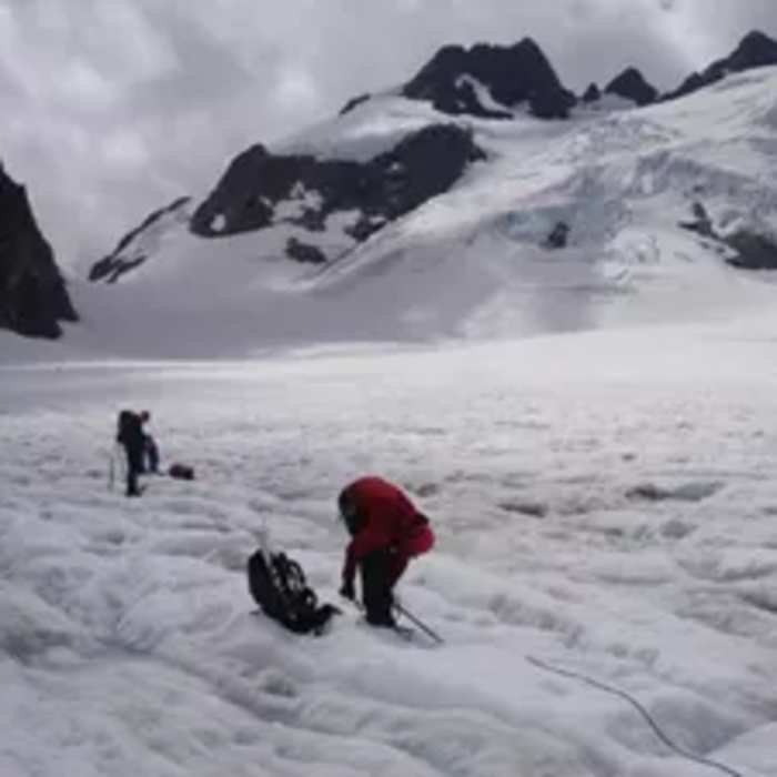
From Glacier Meadows, follow the unmaintained path climbing to the lateral moraine of the Blue Glacier at 17.4 miles. Carefully descend the steep, unstable moraine wall to reach the glacier's edge around 17.6 miles. Rope up here for glacier travel.
Crux: Route-finding on the glacier varies by season — crevasses shift year to year and require active navigation around openings. Rope up before stepping onto the glacier; crevasse rescue skills are required.
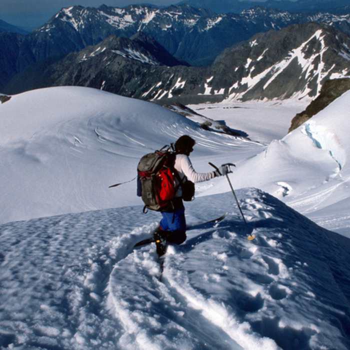
Ascend the lower Blue Glacier, navigating active crevasses, and climb the steep snow slope of the Snow Dome to approximately 6,600 feet. Traverse across the snow field to the south and pass through the high pass between the false summits, heading toward Mount Olympus.
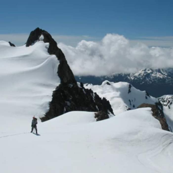
Crux: In late season, a bergschrund forms at the summit base, forcing a traverse left; in early season, a more direct line up steep snow is possible.
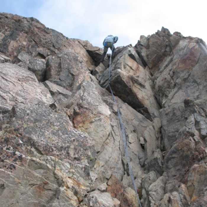
The final 100 feet to the summit requires a Class 4 to 5.4 rock climb on the summit block to reach the peak at 7,966 feet. Descent requires a rappel off the summit block.
Retrace your steps back down the glacier and along the Hoh River Trail to the trailhead.
No Condition Reports
Contributors

