Ready to explore this trail?
View Trail Map in AppSandia Foothills Open Space is open 365 days a year. From April to October, the hours are 7 a.m. to 9 p.m. From November to March, hours are 7 am to 7 pm. Parking at the trailheads is free.
Path Type
Point to Point
Embudo Trail is the primary route through the canyon of the same name, located on the southern end of the Sandia Foothills Open Space. Lesser-known than the popular trails to the north, Embudo is a fun, dynamic route through a variety of terrain and plant life.
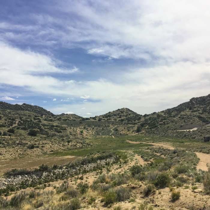
Embudo's initial segment doubles as a dirt access road to the nearby water tank. The gritty, sandy trail is smooth and well maintained, making for an easy hike. As it makes a gradual ascent to the east, look right to see an interesting boulder field across the valley. The path will cross three dirt singletracks on the way up, eventually passing the Embudo Freeride Area at the half mile point, a small terrain park for mountain bikers.
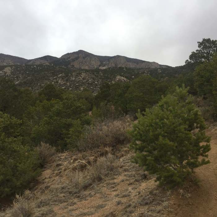
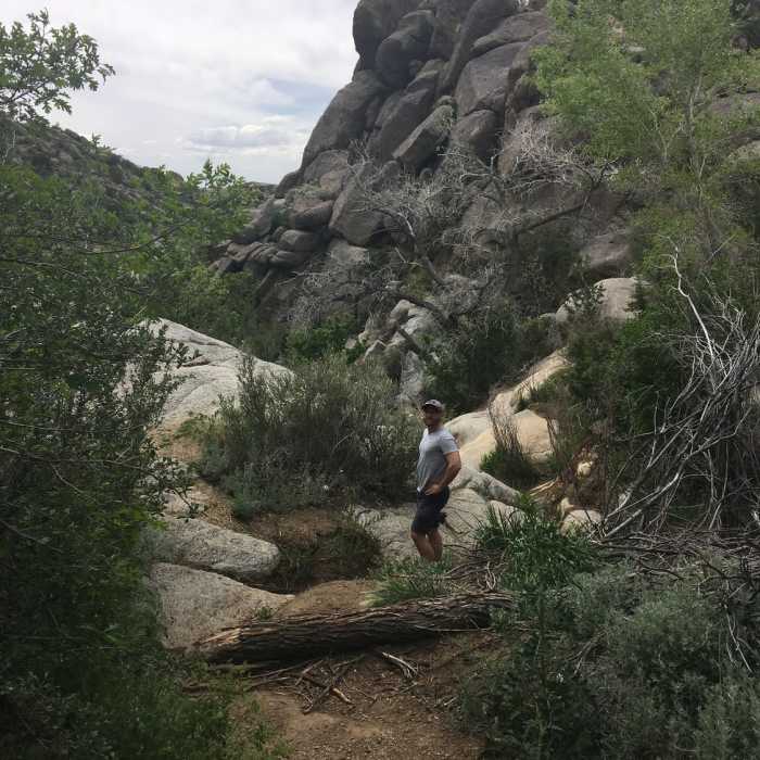
Soon thereafter, Embudo briefly joins the Foothills Trail before heading east again at a large sign. This is the "real" beginning of the trail, as it leaves the flat section and enters Embudo Canyon. The path narrows and becomes more rugged as it proceeds through the tight canyon walls. In some areas, the trail will split; taking the left route is usually the more direct path. Diversions end up in the same place, however, so feel free to explore a little. Rocks and boulders begin to crop up along Embudo, and some sections will require some minor climbing. Moderately challenging but accessible to just about any hiker, the terrain makes for a fun, exciting route.
Around the one mile point, the trail comes to a rock wall at a spring and turns left. Use caution when crossing rocks made wet by the runoff here. More scrambling follows over the next quarter mile. Again, when the trail splits, the left route is generally easier, with the right climbing over more boulders. Look for a few rock overhangs making some small caves.
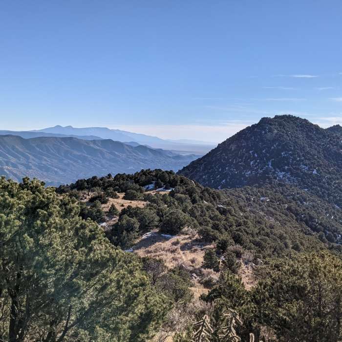
Eventually Embudo flattens out in a wide valley. The singletrack returns to mostly packed dirt as it weaves through trees. Depending on which of a few trail spurs are taken, the path meets Embudo Horse Trail near a small arroyo. Cacti give way to pine trees as the winding trail nears the back of the canyon. Watch for patches of snow and ice late in the year in shady sections.
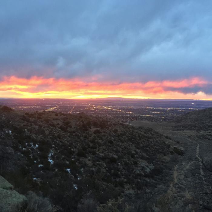
At the canyon wall, the trail begins a series of steep, demanding switchbacks. A few rocks make the climb harder. The challenging climb will last for the final three quarters of a mile, with the canyon walls framing a nice view of Albuquerque to the west.
Embudo Trail ends at the top of a lower saddle on the Sandias. Three Gun Springs Trail runs in either direction.
No Condition Reports
Contributors

