
Near Newton Trail
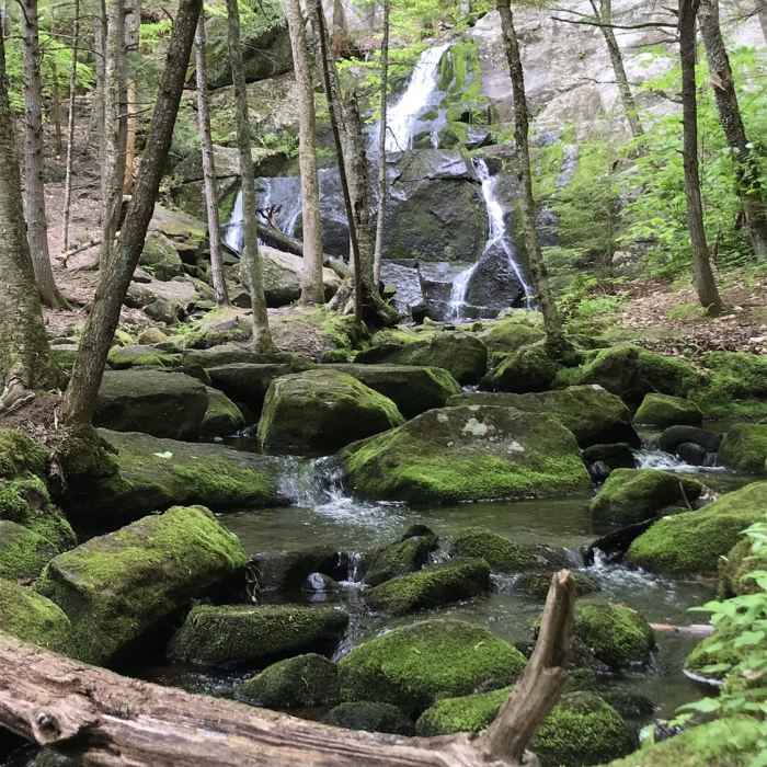
Rainbow Falls in the Walter - Newton Natural Area.
Near Newton Trail
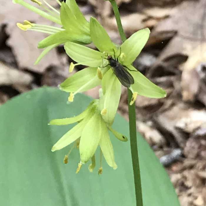
Fly on Clintonia borealis.
Near Newton Trail
Bugleweed (Ajuga reptans).

Looking for more photos?

View All Photos
Driving Directions
Hike Trail

Newton Trail

4.0 (1 Rating)
This is a longer route to the falls.
0.9
mi
Distance
129
ft
Gain
moderate
Difficulty
HistoricalRiver/CreekViewsWaterfallWildlife
Access Issues
The parking area only holds a few cars.

Route Details

Flatter
Steeper
0.88mi
Distance
129ft
Elevation Gain
82ft
Elevation Loss
20%
Max Grade
740ft
High Point
669ft
Low Point
Path Type
Point to Point
Description
This trail starts off the parking area, off Cummings Hill Road, and heads northward. The trail turns left at the Old Stagecoach Road and runs along the northern edge of the marsh. The trail travels past a few benches with views, then travels over some bog bridges. The trail ends when it crosses over a small footbridge (just below the falls).

Route Conditions

Report Conditions
No Condition Reports
Report Conditions

Nearby Hike Routes

Walter - Newton Loop

Hike Route

Walter - Newton Loop

Historical
moderate
1.52 mi
+141 ft
Mt. Prospect

Hike Route

Mt. Prospect

Dogs Allowed
moderate
3.14 mi
+1,022 ft
Squam Range Extended Loop Hike via Crawford Ridgepole Trail

Hike Route

Squam Range Extended Loop Hike via Crawford Ridgepole Trail

Lake
extreme
13.05 mi
+3,488 ft
Rattlesnake

Hike Route

Rattlesnake

Birding
moderate
1.73 mi
+397 ft
Mud Pond, Peaked Hill Pond, and Heath Pond Loop

Hike Route

Mud Pond, Peaked Hill Pond, and Heath Pond Loop

moderate
10.33 mi
+854 ft
Rattlesnake Mountain

Hike Route

Rattlesnake Mountain

Birding
strenuous
2.37 mi
+999 ft
Contributors
David Smith
