Near Visitor Center Trail
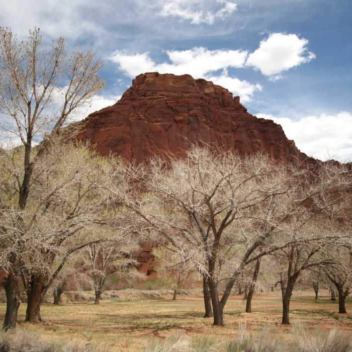
Cottonwood trees at Fruita. with permission from Nick Terrett
Near Visitor Center Trail
Orchards and Mountain
Near Visitor Center Trail
Gifford Barn.
Near Visitor Center Trail
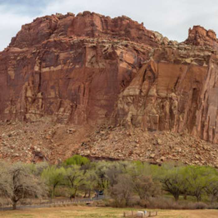
Fruita and the Waterpocket Fold across from Highway 24
Near Visitor Center Trail
Gifford Homestead, where pies and ice cream are abundant.

Looking for more photos?

View All Photos
Driving Directions
Hike Trail

Visitor Center Trail

2.5 (4 Ratings)
An easy trail, great for those with kids or those who wish to stretch their legs after a long drive.
1.2
mi
Distance
14
ft
Gain
easy
Difficulty
Dogs AllowedFamily FriendlyRiver/CreekViews

Route Details

Flatter
Steeper
1.24mi
Distance
14ft
Elevation Gain
70ft
Elevation Loss
15%
Max Grade
5,491ft
High Point
5,418ft
Low Point
Path Type
Point to Point
Description
The path between the picnic area and the visitor center really doesn't fit the usual or official definition of a trail, but it is a nice route and a good introduction to the geologic and human history of Fruita. The path is especially suited for those who arrive early at the campground and need both a little exercise after pulling in and some information about Capitol Reef. It is also the only trail in the park where dogs are allowed, so Rex and Fluffy will like it too. Campers can access the Visitor Center Trail by picking up the east end of the Fremont River Trail that borders Loops A and B on the north side next to the river and heading downstream (east) past the Gifford House to the bridge on the Scenic Drive. Others should park at the picnic area, which is 1.0 mile from the visitor center on the Scenic Drive. The path is located just across the Scenic Drive to the west. Wherever you choose to start, the trail meanders across streams and beside historic orchards rich with heirloom apple varieties, among other fruit, to eventually end in the Capitol Reef Visitor Center Parking Area. This content was contributed by author Rick Stinchfield. For a comprehensive hiking guide to Capitol Reef National Park and to see more by Rick, click here.

Route Conditions

Report Conditions
No Condition Reports
Report Conditions

Nearby Hike Routes

Find more hikes near: Torrey, UtahTeasdale, UtahBicknell, Utah
Fremont Gorge Overlook Trail

Hike Route

Fremont Gorge Overlook Trail

Fall Colors
moderate
2.25 mi
+1,061 ft
Frying Pan Trail to Cassidy Arch

Hike Route

Frying Pan Trail to Cassidy Arch

Views
strenuous
9.97 mi
+3,725 ft
Cohab Canyon and Fruita Overlooks

Hike Route

Cohab Canyon and Fruita Overlooks

Fall Colors
strenuous
3.21 mi
+714 ft
Cohab Canyon

Hike Route

Cohab Canyon

Fall Colors
moderate
3.32 mi
+801 ft
Petroglyph Panel

Hike Route

Petroglyph Panel

easy
0.34 mi
+0 ft
Hickman Bridge

Hike Route

Hickman Bridge

Fall Colors
easy
1.72 mi
+745 ft
Contributors
Hunter R
