Near County Road 5
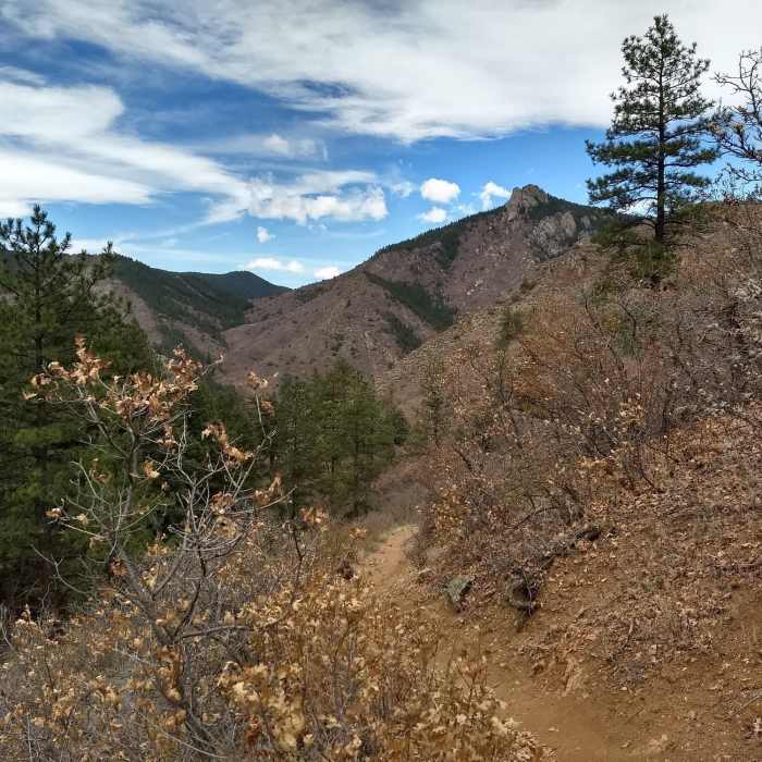
The trail leads mostly through pine forest however it has a couple points where the scenery breaks up to some great landscapes.
Near County Road 5
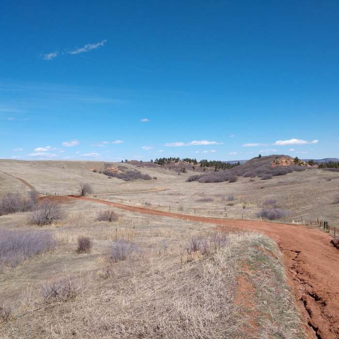
End of Sharptail Ridge Trail and start of Swallowtail Trail on County Road 5.
Near County Road 5
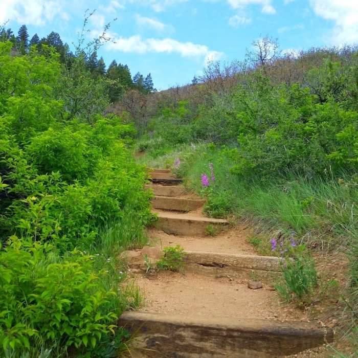
Well maintained trail
Near County Road 5
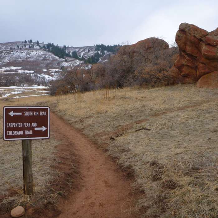
The start of the Carpenter Peak Trail.

Looking for more photos?

View All Photos
View Map
Driving Directions
Hike Trail
Buy Now View in 3D

County Road 5

3.0 (1 Rating)
A trail connection between Roxborough Drive, Sharptail Ridge Trail, and Carpenter Peak.
2.8
mi
Distance
747
ft
Gain
moderate
Difficulty
Fall ColorsWildflowers
Access Issues
To preserve Roxborough's natural state, no rock climbing, camping, mountain bikes, pets, or horses are permitted in Roxborough State Park.

Route Details

Flatter
Steeper
2.78mi
Distance
747ft
Elevation Gain
295ft
Elevation Loss
25%
Max Grade
6,903ft
High Point
6,230ft
Low Point
Path Type
Point to Point
Description
This dirt road is a great connection point between the entrance to Roxborough State Park from Roxborough Drive, the Sharptail Ridge Trail, and Carpenter Peak. The footing is fairly decent, and there is a good climb up the road.

Route Conditions

Report Conditions
No Condition Reports
Report Conditions

Nearby Hike Routes

Fountain Valley Trail

Hike Route

Fountain Valley Trail

Birding
easy
1.94 mi
+212 ft
Colorado Trail: Indian Creek Alternate

Hike Route

Colorado Trail: Indian Creek Alternate

Views
moderate
4.18 mi
+413 ft
Highline Canal Trail

Hike Route

Highline Canal Trail

Fall Colors
easy
58.97 mi
+232 ft
Waterton Canyon

Hike Route

Waterton Canyon

Birding
easy
13.33 mi
+481 ft
Colorado Trail Segment 2

Hike Route

Colorado Trail Segment 2

Views
strenuous
9.87 mi
+2,275 ft
Two Brands and Black Bear Circuit

Hike Route

Two Brands and Black Bear Circuit

Fall Colors
moderate
6.1 mi
+395 ft
Contributors
Derek Griffiths
