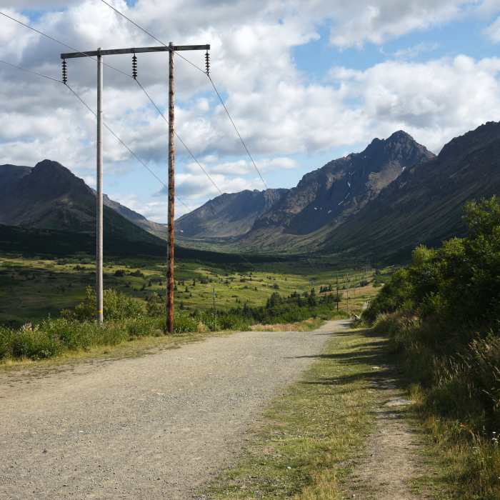
Near Powerline Pass Trail
Powerline Pass Trail at Glen Alps. Chugach State Park, Alaska

Looking for more photos?

View All Photos
View Map
Driving Directions
Hike Trail

Powerline Pass Trail

3.8 (4 Ratings)
A relatively easy trail on rolling hills with plenty of off shoot options.
13.9
mi
Distance
3,176
ft
Gain
moderate
Difficulty
BirdingFall ColorsLakeRiver/CreekViewsWildflowersWildlife
Access Issues
Open fires are prohibited except in designated rings or camp stoves. Most of the access points for this trail require a $5 day use fee or an Alaska State Park pass.

Route Details

Flatter
Steeper
13.92mi
Distance
3,176ft
Elevation Gain
3,945ft
Elevation Loss
35%
Max Grade
3,698ft
High Point
345ft
Low Point
Path Type
Point to Point
Description
This trail leaves from the Prospect Heights Trailhead area and provides easy access a number of trail options as it spans 14 miles over Powerline Pass to Upper Indian Valley Trailhead into mountain hiking. Head towards Glen Alps and tear up the elevation. I stopped at the confluence of the trails and headed back but you can literally hike all day and night during the summer and never hike the same trail.

Route Conditions

Report Conditions
No Condition Reports
Report Conditions

Nearby Hike Routes

Williwaw Lakes Tour

Hike Route

Williwaw Lakes Tour

Commonly Backpacked
strenuous
19.38 mi
+4,432 ft
Middle Fork Loop

Hike Route

Middle Fork Loop

Fall Colors
moderate
9.58 mi
+1,437 ft
Near Point

Hike Route

Near Point

Views
strenuous
6.83 mi
+2,227 ft
Wolverine Peak

Hike Route

Wolverine Peak

Birding
strenuous
9.11 mi
+3,644 ft
Temptation Peak via the Dome

Hike Route

Temptation Peak via the Dome

Lake
strenuous
17.18 mi
+7,882 ft
Tikishla Peak Loop

Hike Route

Tikishla Peak Loop

River/Creek
strenuous
12.67 mi
+5,394 ft
Contributors
Jeff Collins
