Near E211S
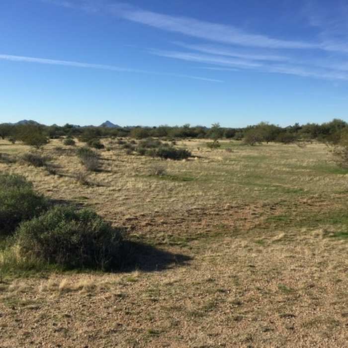
Winter desert
Near E211S
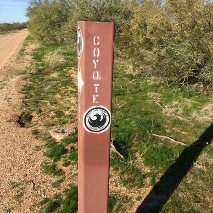
Trail marker
Near E211S
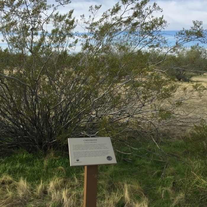
Good informational signage that's easy to read.
Near E211S
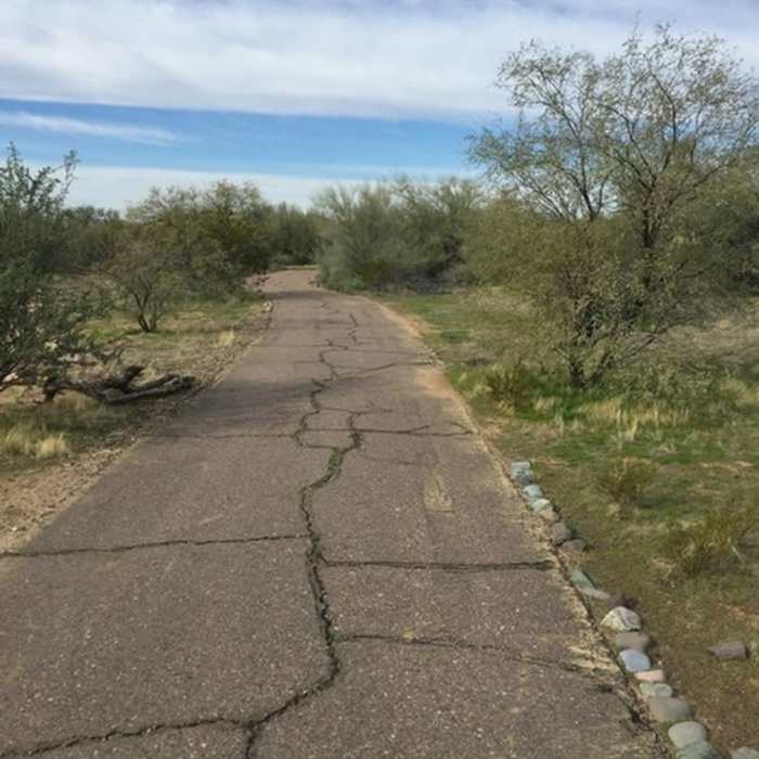
The paved trail

Looking for more photos?

View All Photos
Driving Directions
Hike Trail

E211S

4.0 (1 Rating)
A nice flat trail around the perimeter of the recreation area.
1.3
mi
Distance
4
ft
Gain
easy
Difficulty
Less Crowded

Route Details

Flatter
Steeper
1.27mi
Distance
4ft
Elevation Gain
13ft
Elevation Loss
5%
Max Grade
1,544ft
High Point
1,531ft
Low Point
Path Type
Point to Point
Description
The trail starts off by the road then curves along the bottom of the berm for the canal. Surrounded by mesquite and creosote, it's a nice peaceful hike.

Route Conditions

Report Conditions
No Condition Reports
Report Conditions

Nearby Hike Routes

Shadow Mountain Circumference Trail

Hike Route

Shadow Mountain Circumference Trail

Views
easy
2.64 mi
+440 ft
Lookout Mountain Circumference

Hike Route

Lookout Mountain Circumference

Views
easy
2.2 mi
+331 ft
Lookout Mountain

Hike Route

Lookout Mountain

Views
easy
2.82 mi
+723 ft
Windgate to Bell Pass Loop

Hike Route

Windgate to Bell Pass Loop

Birding
strenuous
10.25 mi
+2,071 ft
LV Yates Trail

Hike Route

LV Yates Trail

Views
moderate
4.89 mi
+673 ft
Dixie Peak from 40th St. Trailhead

Hike Route

Dixie Peak from 40th St. Trailhead

Family Friendly
strenuous
2.99 mi
+974 ft
Contributors
Cris Taylor
