Ready to explore this trail?
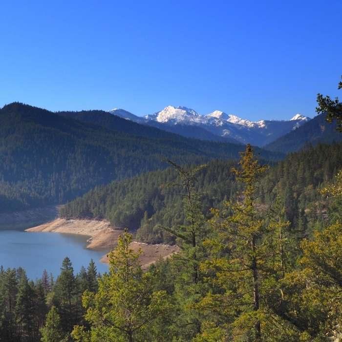
View Trail Map in AppThis trail is open year-round. Applegate Reservoir is designed so that its water level rises and falls in response to rain - the lake is at full pool usually only between June and September. Parking is free at Swayne Viewpoint. Parking (for a fee) is available at Hart-Tish Campground when it is open, which is only during the summer months.
Path Type
Point to Point
This trail is easily done in either direction.
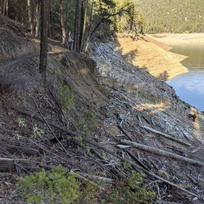
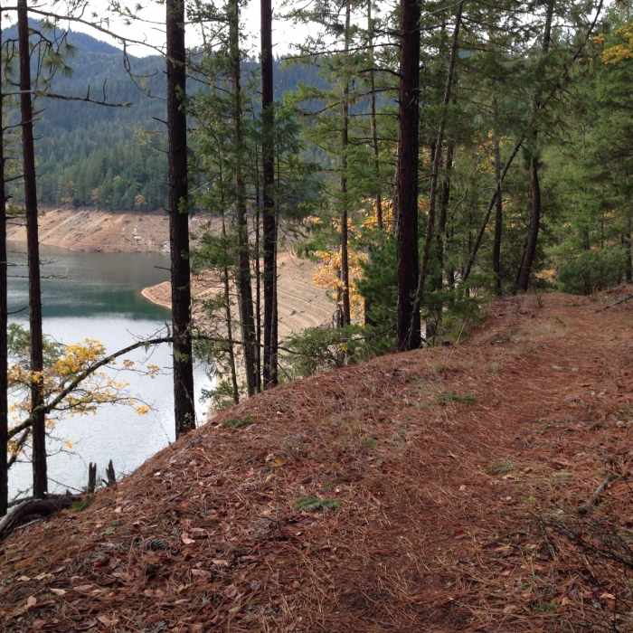
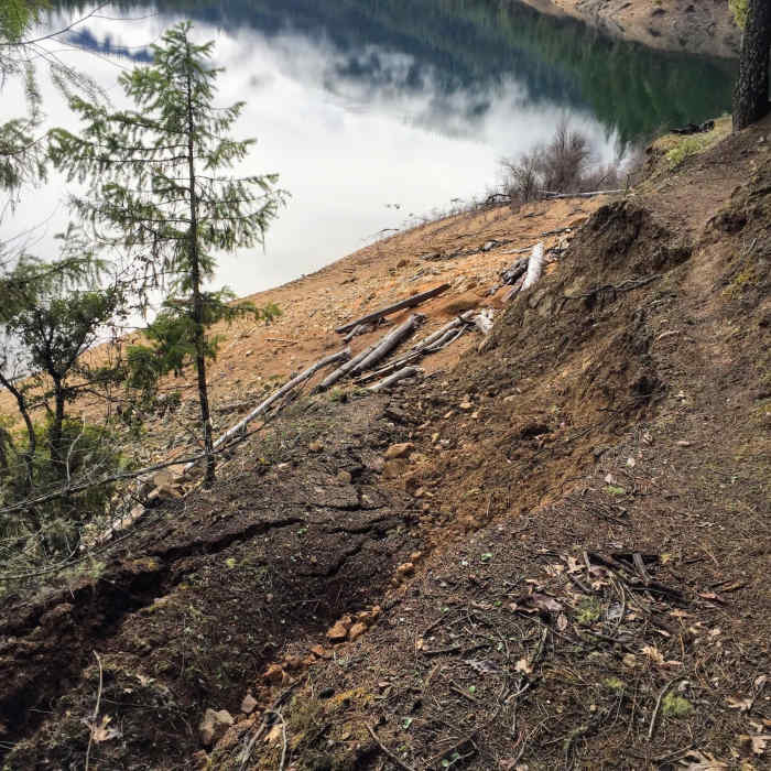
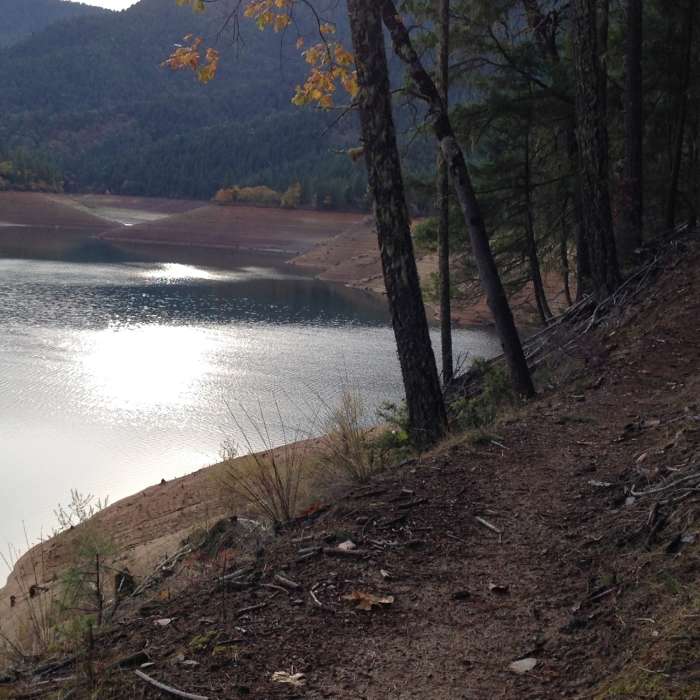
From the Swayne viewpoint parking area near the dam, head south along the west shore of the lake. Occasional rocky stream crossings give this trail the "blue square" component to its rating, but otherwise it is pretty buff: smooth and reasonably flat. When the lake is low, there is some limited exposure to a 150' drop as the trail traverses across steep slopes. The trail is generally well marked.
Within the first 1/2 mile, the Hart-Tish Campground is passed. Here, when in doubt, follow campground trails that follow the contour close to the lake. There is one mowed grassy area with no visible trail, but the trail is easily picked up on the far side. Four miles later, there is an unmarked junction by a wooden footbridge. This is in the vicinity of the Watkins Campground. Go right, uphill, for a short-cut up to the campground, otherwise the lakeside route will bring you to the same point after one switchback.
This trail ends here at Watkins CG. Across the road is the southern terminus of the Collings Mountain Trail #943. To continue around the lake, follow roads around the south end of the lake to find the start of the Payette Trail.
No Condition Reports
Contributors

