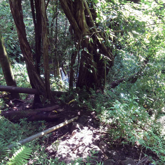
Near Kanealole Trail
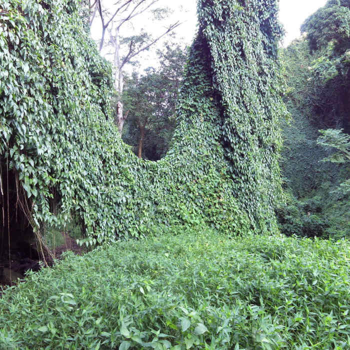
The vines.
Near Kanealole Trail
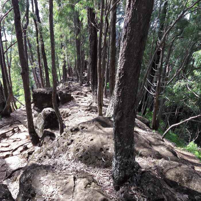
One of the ridges.
Near Kanealole Trail
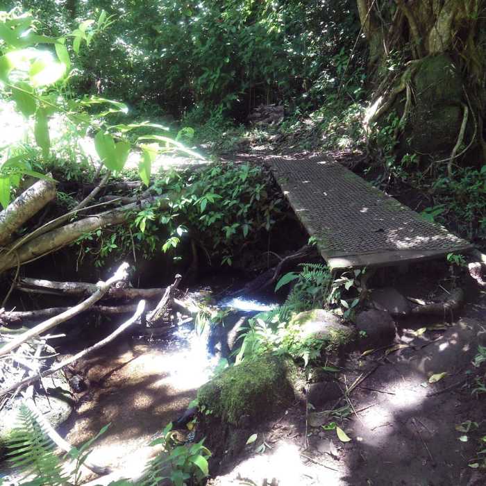
Stream crossing.
Near Kanealole Trail
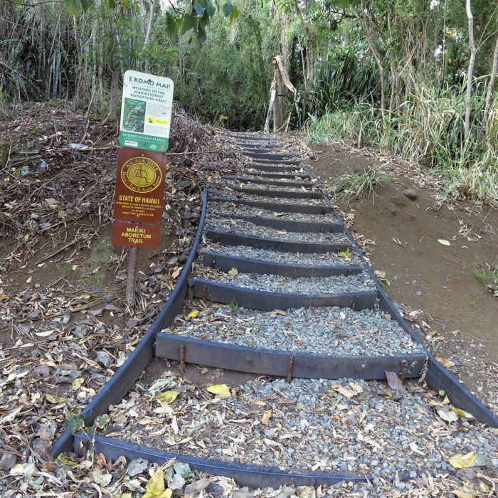
The start of the trail.
Near Kanealole Trail
One of the waterfalls through the brush.

Looking for more photos?

View All Photos
View Map
Driving Directions
Hike Trail

Kanealole Trail

3.0 (3 Ratings)
One of the three legs of the Makiki Valley Loop trail.
1.1
mi
Distance
649
ft
Gain
moderate
Difficulty
BirdingFamily FriendlyRiver/CreekViewsWaterfall

Route Details

Flatter
Steeper
1.13mi
Distance
649ft
Elevation Gain
70ft
Elevation Loss
40%
Max Grade
913ft
High Point
328ft
Low Point
Path Type
Point to Point
Description
This trail is one of three trails that make up the Makiki Valley Loop hike. This portion is just short of one mile in length. It follows the Makiki Valley stream. There are a couple of places along the trail where you can view waterfalls (but you kind of have to look for them, they are not prominent in view). There are about 20 geocaches on the full MVL if you are into geocaching.

Route Conditions

Report Conditions
No Condition Reports
Report Conditions

Nearby Hike Routes

Makiki Valley Loop

Hike Route

Makiki Valley Loop

Birding
moderate
3.18 mi
+1,159 ft
Konahuanui Summit / K2 via Pu'u Ohia

Hike Route

Konahuanui Summit / K2 via Pu'u Ohia

Views
moderate
3.26 mi
+2,230 ft
Waiakeakua Stream

Hike Route

Waiakeakua Stream

Waterfall
easy
1.32 mi
+959 ft
Kolowalu Trail

Hike Route

Kolowalu Trail

Views
easy
1.01 mi
+1,341 ft
Pu'u Pia

Hike Route

Pu'u Pia

Views
easy
0.99 mi
+552 ft
Pauoa Flats Lookout from Lyon Arboretum

Hike Route

Pauoa Flats Lookout from Lyon Arboretum

Views
moderate
4.7 mi
+1,432 ft
Contributors
Tre Martin
