Near Garden Ridge Trail
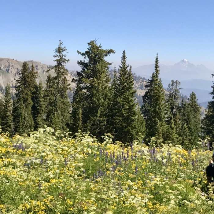
At the intersection to Overall Basin, Overall Ridge, and the Garden Ridge trails. The Grand Teton in the background and some floral photography in the foreground. :)
Near Garden Ridge Trail
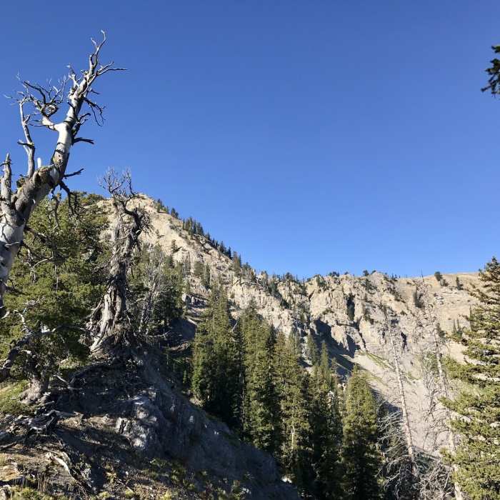
At the beginning of the ridge on the Garden Canyon side looking back towards the south/west.
Near Garden Ridge Trail
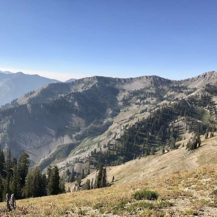
Looking down into Garden Canyon.
Near Garden Ridge Trail
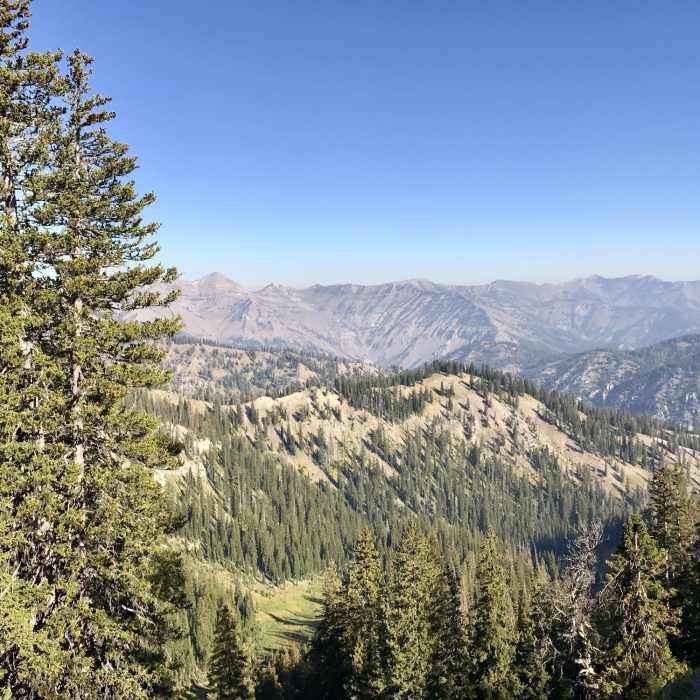
Mt. Baird (Bonneville County's high point) can be seen just to the right of the trees.

Looking for more photos?

View All Photos
View Map
Driving Directions
Hike Trail

Garden Ridge Trail

5.0 (1 Rating)
A spectacular ridge with views of the Grand Tetons, Mt. Baird and all the other peaks in the area.
1.8
mi
Distance
831
ft
Gain
moderate
Difficulty
Fall ColorsViewsWildflowersWildlife

Route Details

Flatter
Steeper
1.79mi
Distance
831ft
Elevation Gain
238ft
Elevation Loss
30%
Max Grade
9,408ft
High Point
8,790ft
Low Point
Path Type
Point to Point
Description
Getting here is the difficult part, but well worth the effort. On the Idaho side Big Elk Creek Trail (Lower) to Dry Canyon or North Indian Creek to the Garden Canyon Trail lead to this ridge. High peaks will meet your gaze as you look out over the expansive landscape and deep steep canyons lay below. There are no shortcuts off of this ridge, stay on the trail. Being surrounded by a meadow of wildflowers up to your waist and the Tetons off in the distance is an impressive sight and well worth the effort. If you came up to the ridge via the Garden Canyon Trail or any other canyon, you'll be treated with an overview of what you just traveled up. The trail can fade off at points, but when in doubt just check this map in the Mobile App. The points where the trail will sometimes disappear are where there are thick meadows of flowers and brush. This is a good connector ridge and can lead you onto other ridges or other canyons.

Route Conditions

Report Conditions
No Condition Reports
Report Conditions

Nearby Hike Routes

Indian Creek Loop

Classic Hike Route

Indian Creek Loop

Birding
strenuous
19.55 mi
+3,970 ft
Mt. Baird Out and Back

Hike Route

Mt. Baird Out and Back

Fall Colors
strenuous
9.2 mi
+4,121 ft
Upper Palisades Lake

Hike Route

Upper Palisades Lake

Commonly Backpacked
moderate
6.75 mi
+1,450 ft
Taylor Mountain

Hike Route

Taylor Mountain

River/Creek
strenuous
8.54 mi
+3,178 ft
Phillips Pass Trail

Hike Route

Phillips Pass Trail

Views
moderate
4.07 mi
+1,538 ft
Ski Lake Out and Back

Hike Route

Ski Lake Out and Back

Birding
moderate
4.17 mi
+962 ft
Contributors
Jeff Fullmer
