Near North Range Utility Road
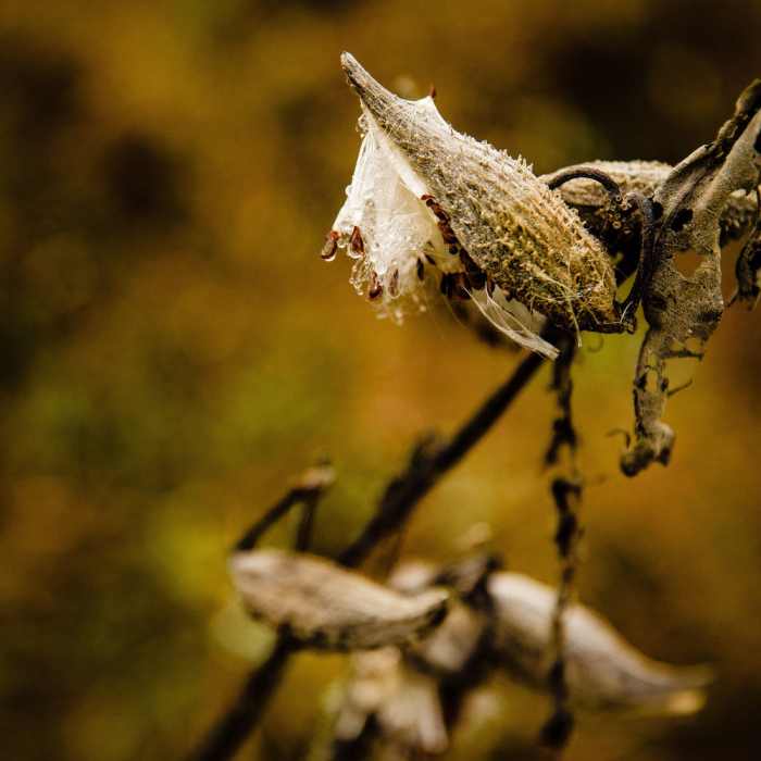
Milkweed Plant along the trail

Looking for more photos?

View All Photos
Driving Directions
Hike Trail

North Range Utility Road

4.0 (1 Rating)
An access path between the Green Path and Trexler Border Trail.
0.4
mi
Distance
ft
Gain
moderate
Difficulty
Fall ColorsWildlife

Route Details

Flatter
Steeper
0.43mi
Distance
0ft
Elevation Gain
227ft
Elevation Loss
10%
Max Grade
692ft
High Point
465ft
Low Point
Path Type
Point to Point
Description
This is a 0.5 miles doubletrack/dirt road connecting the Green Trail to the Trexler Border Trail. The hiking on the trail is not too difficult. We accidentally left the Trexler Border Trail and used this path to get back on track. Along the way, we passed by the Mill Creek parking lot, which is another access point for this route and other trails in the area.

Route Conditions

Report Conditions
No Condition Reports
Report Conditions

Nearby Hike Routes

Covered Bridge Trail

Hike Route

Covered Bridge Trail

Views
easy
1.56 mi
+60 ft
Walnutport Canal Spur Trail

Hike Route

Walnutport Canal Spur Trail

Dogs Allowed
easy
1.88 mi
+16 ft
Slate Heritage Trail

Hike Route

Slate Heritage Trail

easy
4.23 mi
+116 ft
Lehigh Parkway - Fish Hatchery to Iron Bridge Loop

Hike Route

Lehigh Parkway - Fish Hatchery to Iron Bridge Loop

easy
3.66 mi
+139 ft
Hoover-Mason Trestle

Hike Route

Hoover-Mason Trestle

easy
0.58 mi
+0 ft
Pulpit Rock and The Pinnacle

Hike Route

Pulpit Rock and The Pinnacle

Cave
strenuous
8.76 mi
+1,126 ft
Contributors
Steve Miller
