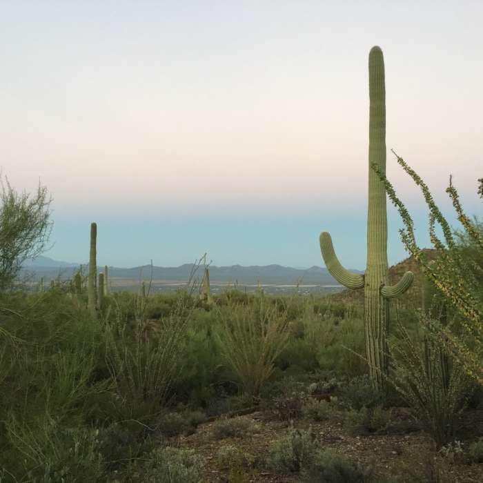
Near Gould Mine Trail
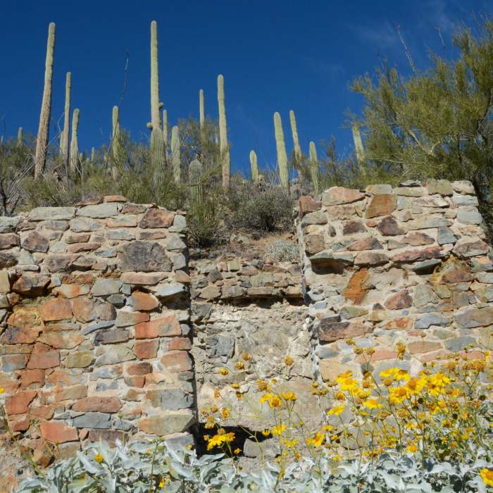
Remains of a structure at Gould Mine
Near Gould Mine Trail
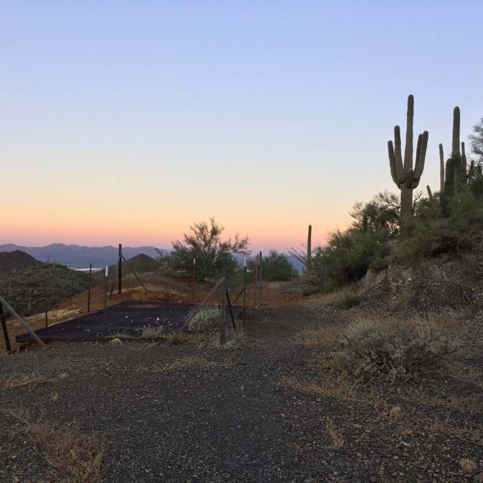
Covering the Gould Mine shaft is a metal grate.
Near Gould Mine Trail
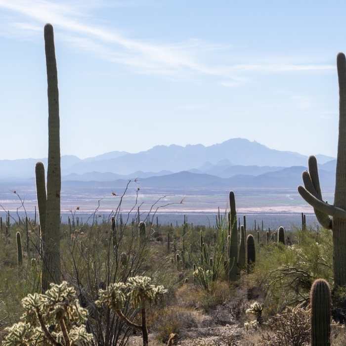
The distant Coyote Mountains from the Gould Mine Trail.
Near Gould Mine Trail
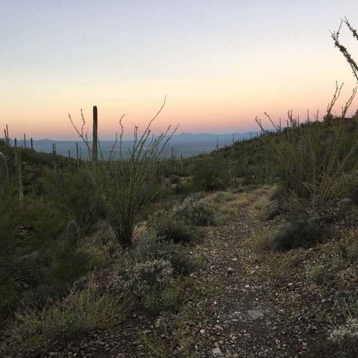
Early morning view from the Gould Mine Trail.
Near Gould Mine Trail
Early morning on the Gould Mine Trail looking into Avra Valley.

Looking for more photos?

View All Photos
Driving Directions
Hike Trail

Gould Mine Trail

3.4 (9 Ratings)
Hike into Arizona's past with a visit to the Gould Mine site.
1.1
mi
Distance
295
ft
Gain
moderate
Difficulty
Family FriendlyViewsWildlife

Route Details

Flatter
Steeper
1.11mi
Distance
295ft
Elevation Gain
44ft
Elevation Loss
25%
Max Grade
3,165ft
High Point
2,877ft
Low Point
Path Type
Point to Point
Description
From the !King Canyon Trailhead, the Gould Mine Trail immediately drops into a wash. In 2016, there was no signage for the Gould Mine Trail. After dropping into the wash, the trail follows the wash for a short distance before climbing back out of the wash. After leaving the wash, you make a gentle climb towards the mine. As you gain elevation, you'll have views to the southwest across Avra Valley. If you look carefully, you might be able to see Kitt Peak way in the distance. Views to the northeast are of the rugged higher elevations of the Tucson Mountains. When you reach the mine, take a moment to inspect the old shaft (now covered with a metal grate). There are also remains of an old powder house where dynamite was stored. Just to note, the turnoff into the !King Canyon Trailhead is on Kinney Road just northwest of the entrance to the Desert Museum. The turnoff to the !King Canyon Trailhead is narrow, a little rocky, and comes up on you pretty fast, so be careful.

Route Conditions

Report Conditions
No Condition Reports
Report Conditions

Nearby Hike Routes

Wasson Peak Circle Route

Hike Route

Wasson Peak Circle Route

Views
strenuous
7.98 mi
+1,955 ft
Brown Mountain

Hike Route

Brown Mountain

Views
strenuous
5 mi
+1,216 ft
Wasson Peak - Hugh Norris

Hike Route

Wasson Peak - Hugh Norris

Birding
strenuous
9.71 mi
+2,477 ft
Wasson Peak Summit

Hike Route

Wasson Peak Summit

Birding
moderate
9.1 mi
+2,179 ft
Thunderbird Trail

Hike Route

Thunderbird Trail

easy
4.02 mi
+538 ft
Wildflower Ridge Loop

Hike Route

Wildflower Ridge Loop

Dogs Allowed
easy
1.54 mi
+122 ft
Contributors
Chris McD
