Ready to explore this trail?
View Trail Map in AppThe preserve is open year round from dawn until half an hour after sunset.
Path Type
Point to Point
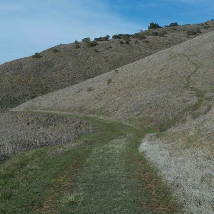
The Hawk Ridge Trail can be accessed via the Ridge Trail or the Alder Spring Trail (if you want to hike uphill) in the Russian Ridge Open Space Preserve. The trail leaves an intersection of the Ridge Trail, Hawk Trail, and a small connector trail that leads to the boundary of the preserve. The trail begins to descend along a singletrack gravel trail through some tall grass and small brush.
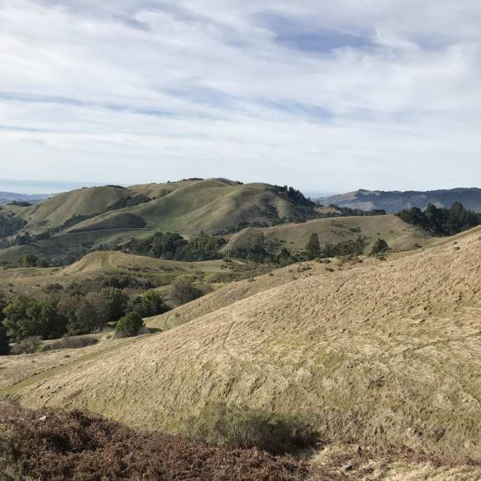
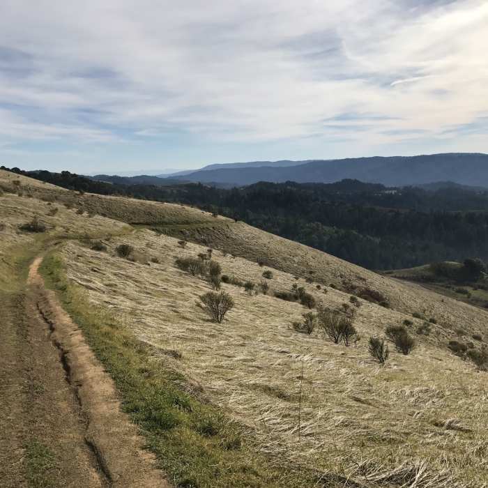
The gravel quickly transforms into dirt as the singletrack trail turns to the right and continues its descent of the hillside. Above you to the left is the Ridge Trail, while the hillside drops off to the right and offers sweep views of the Santa Cruz Mountains, Pacific Ocean, and the rest of Russian Ridge Preserve, including Mindego Hill. The views are the best part of this hike, so make sure to take them in as you proceed down the trail. It descends gently as it winds its way along the hillside. Animals can be seen feeding in the fields and soaring above them.
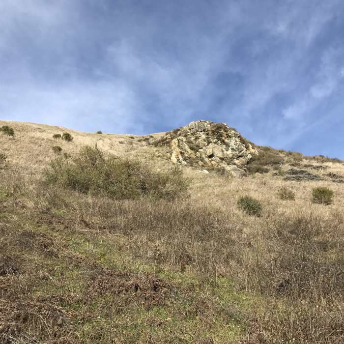
As the trail approaches the junction withe the Alder Spring Trail, you pass by rock formations that stick out of the hillside thanks to erosion. The trail finally arrives that the junction with Alder Spring Trail. If you turn to the right, the Alder Spring Trail runs for roughly .4 miles to a gate and the edge of the preserve. If you go to the left, the trail makes its way to the Charquin Trail. You can use the other trails in the preserve to create a loop and get back to your car or follow the trail back up the hill to where you started and explore other areas.
No Condition Reports
Contributors

