Near Cole Mill Trail
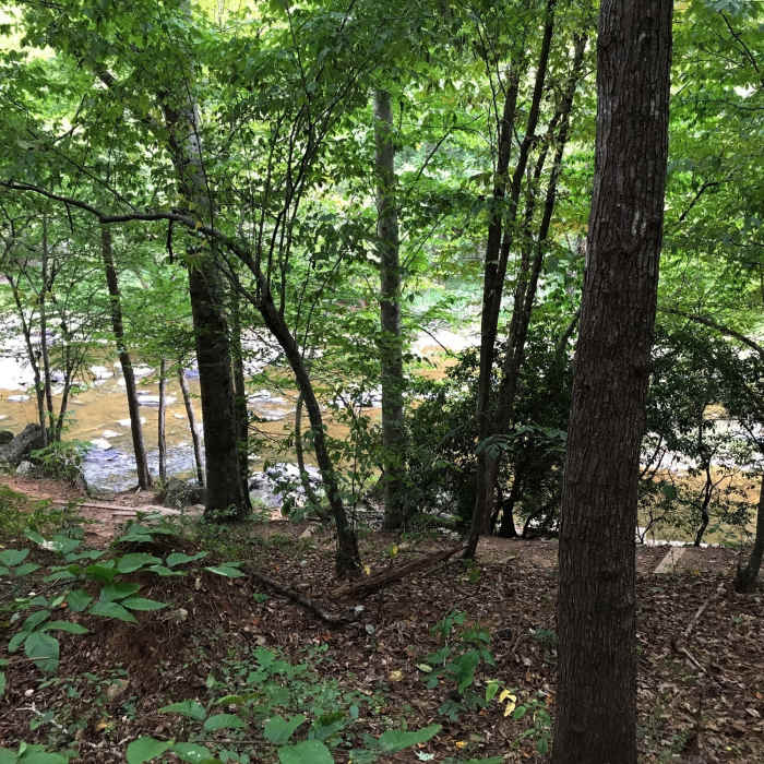
Trail down to the canoe launch
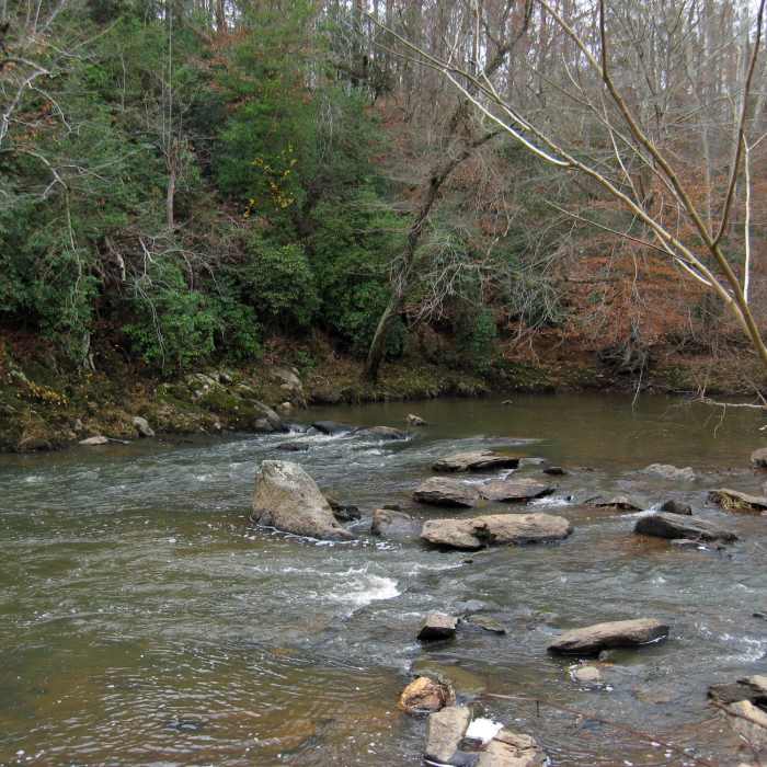
Near Cole Mill Trail
Eno River State Park.
Near Cole Mill Trail
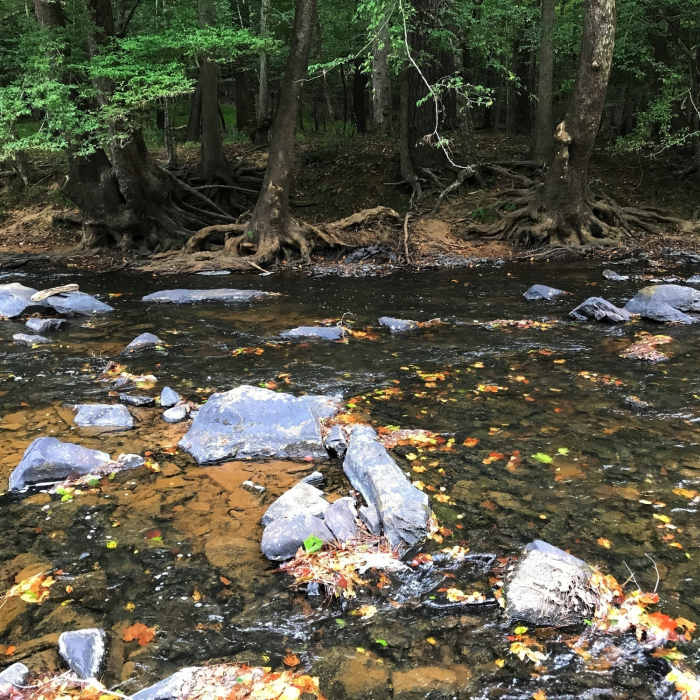
Fall leaves floating in the Eno

Looking for more photos?

View All Photos
View Map
Driving Directions
Hike Trail

Cole Mill Trail

4.3 (3 Ratings)
This trail visits the Eno and connects with the Bobbit Hole Trail.
1.2
mi
Distance
73
ft
Gain
moderate
Difficulty
BirdingFall ColorsRiver/CreekWildflowers
Access Issues
Posted signs indicate there have been car break-ins in this area--don't leave valuables in your vehicle.

Route Details

Flatter
Steeper
1.2mi
Distance
73ft
Elevation Gain
73ft
Elevation Loss
20%
Max Grade
436ft
High Point
349ft
Low Point
Path Type
Loop
Description
From the lower parking lot, head right and down toward the river. Pass the Canoe Launch Connector Trail and you are soon down by the Eno. Continue along the river until you meet Bobbit Hole Trail, where you go right and uphill to continue on the Cole Mill Trail. Shortly, you arrive at the other end of the Bobbit Hole Trail. Stay right and cruise back to where you started.

Route Conditions

Report Conditions
Anonymous Adventurer
All Clear
Anonymous Adventurer
All Clear
Anonymous Adventurer
All Clear
Anonymous Adventurer
All Clear
Looking for more condition reports?
View History

Nearby Hike Routes

Eno Outer Loop

Hike Route

Eno Outer Loop

Birding
moderate
6.88 mi
+1,022 ft
Brumley Nature Preserve North

Hike Route

Brumley Nature Preserve North

Birding
moderate
3.26 mi
+71 ft
MST: West Point to Pump Station

Hike Route

MST: West Point to Pump Station

River/Creek
moderate
8.69 mi
+499 ft
Al Buehler and Sally Meyerhoff Trails

Hike Route

Al Buehler and Sally Meyerhoff Trails

Birding
moderate
3.71 mi
+259 ft
Duke Gardens Loop

Hike Route

Duke Gardens Loop

Fall Colors
easy
1.56 mi
+122 ft
Brumley Forest Nature Preserve Loop

Hike Route

Brumley Forest Nature Preserve Loop

Lake
moderate
5.58 mi
+304 ft
Contributors
Russell Hobart
