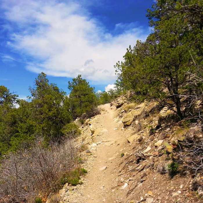
Near Tunnel Canyon
Tunnel Canyon has some challenging climbs.
Near Tunnel Canyon
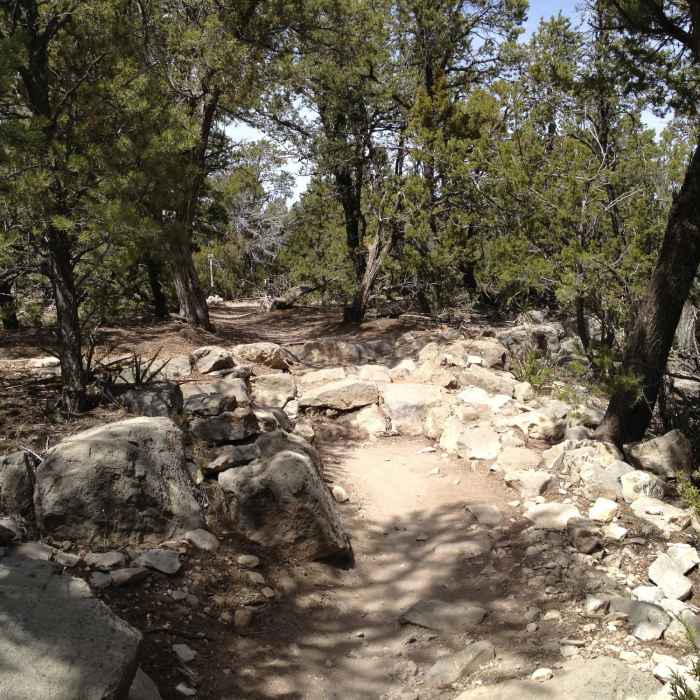
Rocky section before the junction with the West Ridge Trail.
Near Tunnel Canyon
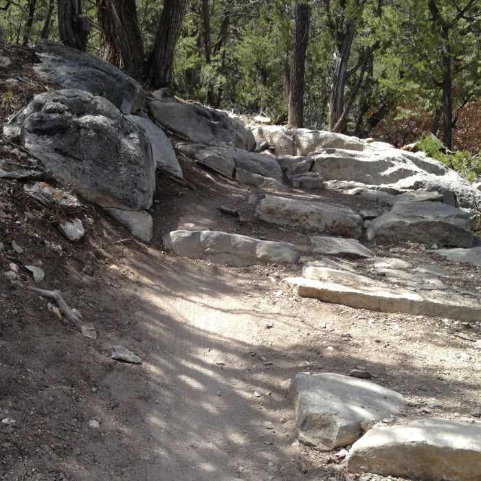
Big rock steps on the climb from Otero Canyon back up to the West Ridge.

Looking for more photos?

View All Photos
View Map
Driving Directions
Hike Trail

Tunnel Canyon

3.5 (2 Ratings)
A grinding climb followed by rock ledges on the descent.
2.6
mi
Distance
472
ft
Gain
moderate
Difficulty
Access Issues
May be closed during summer months due to fire danger, check with the ranger station for details.

Route Details

Flatter
Steeper
2.59mi
Distance
472ft
Elevation Gain
208ft
Elevation Loss
25%
Max Grade
7,060ft
High Point
6,564ft
Low Point
Path Type
Point to Point
Description
The trail starts out as a gradual climb along the right side of the canyon with few obstacles. It gets steeper for a bit when it switches to the left side in a wide sweeping turn. There is not much beyond the grade to impede your progress. Once you reach the high point of the trail it winds through the pion trees for a ways until you come to the trail junction with the West Ridge. At this point the Tunnel Canyon Trail drops to the left towards Otero Canyon. You are immediately greeted with a series of rock steps, which will be a recurring theme the whole way down. The largest of the steps are those first ones and there's another large set near the middle of the descent.

Route Conditions

Report Conditions
No Condition Reports
Report Conditions

Nearby Hike Routes

Otero Canyon Loop

Hike Route

Otero Canyon Loop

Birding
moderate
5.39 mi
+620 ft
Birdhouse Loop

Hike Route

Birdhouse Loop

Birding
strenuous
7.04 mi
+926 ft
Three Guns to Embudito Trailhead

Hike Route

Three Guns to Embudito Trailhead

Birding
strenuous
7.77 mi
+2,351 ft
Whitewash Loop

Hike Route

Whitewash Loop

Birding
strenuous
12.32 mi
+3,155 ft
Embudo Canyon

Hike Route

Embudo Canyon

River/Creek
strenuous
6.72 mi
+1,794 ft
Domingo Baca Trail / TWA Flight 260 crash site

Hike Route

Domingo Baca Trail / TWA Flight 260 crash site

River/Creek
strenuous
6.72 mi
+2,165 ft
Contributors
LeeAB Brinckerhoff
