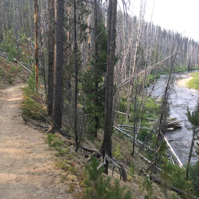
Near Loon Lake Trail
The Secech River Trail parallels the river for long scenic run.
Near Loon Lake Trail
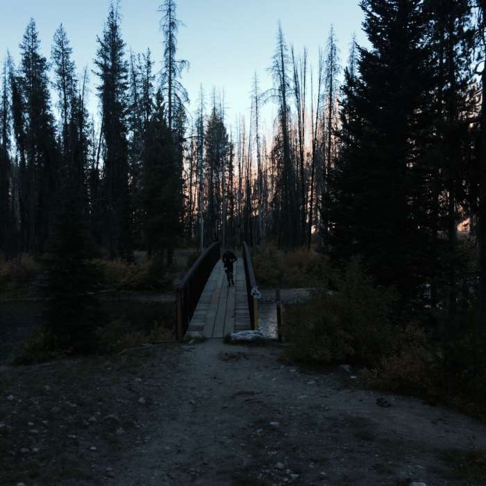
Bridge to Chinook Campground

Looking for more photos?

View All Photos
View Map
Driving Directions
Hike Trail

Loon Lake Trail

4.5 (2 Ratings)
The "high road" route that leads to the pristine waters of Loon Lake.
4.4
mi
Distance
724
ft
Gain
moderate
Difficulty
Fall ColorsFamily FriendlyLakeLakefrontRiver/CreekSwimmingViewsWildflowersWildlife

Route Details

Flatter
Steeper
4.41mi
Distance
724ft
Elevation Gain
586ft
Elevation Loss
25%
Max Grade
6,062ft
High Point
5,674ft
Low Point
Path Type
Point to Point
Description
Enjoy this upper trail that is part of the larger Loon Lake Loop when combined with Loon Creek Trail. The trail connects you to Victor Creek south and the Ruby Meadows Trail as well as the Duck Lake Trail and Loon Creek Trail at the gorgeous shoreline of Loon Lake. Please note that this trail does not start at the road north of Chinook Campgound as shown on most maps, that section has been vacated. It now starts at the campground, in the same place as the lower Loon Creek Trail. Simply cross the bridge and after a short climb, you'll be on the original trail route that all the old maps show.

Route Conditions

Report Conditions
Anonymous Adventurer
All Clear
Looking for more condition reports?
View History

Nearby Hike Routes

Crestline Trail (#109)

Hike Route

Crestline Trail (#109)

Fall Colors
strenuous
14.86 mi
+2,860 ft
Hum Lake Out and Back

Hike Route

Hum Lake Out and Back

Birding
strenuous
7.98 mi
+2,429 ft
Snowslide to Lake Fork

Hike Route

Snowslide to Lake Fork

Fall Colors
strenuous
10.91 mi
+2,096 ft
Snowslide Lake

Hike Route

Snowslide Lake

Lake
easy
1.54 mi
+1,292 ft
Sawtooth Peak

Hike Route

Sawtooth Peak

Lake
moderate
6.28 mi
+3,148 ft
Snowslide Lake Out and Back

Hike Route

Snowslide Lake Out and Back

Birding
strenuous
0.68 mi
+620 ft
Contributors
Joseph States
