Near King Canyon Trail
View west from the saddle below Wasson Peak
Near King Canyon Trail
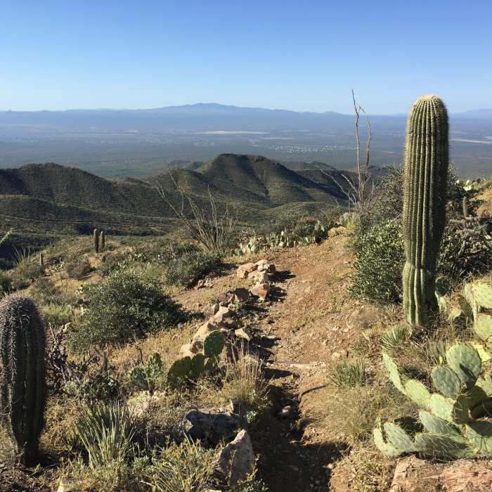
Looking out over Avra Valley with Sierrita Mountains in the (middle) distance. On the far right you can make out Baboquivari.
Near King Canyon Trail
Tucson Mountain from the King Canyon Trail
Near King Canyon Trail
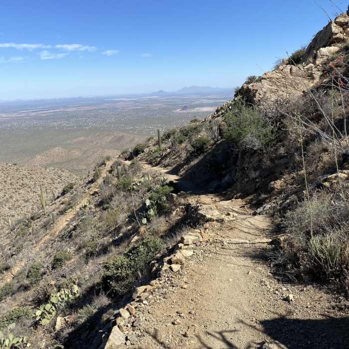
First descent on the Hugh Norris
Near King Canyon Trail
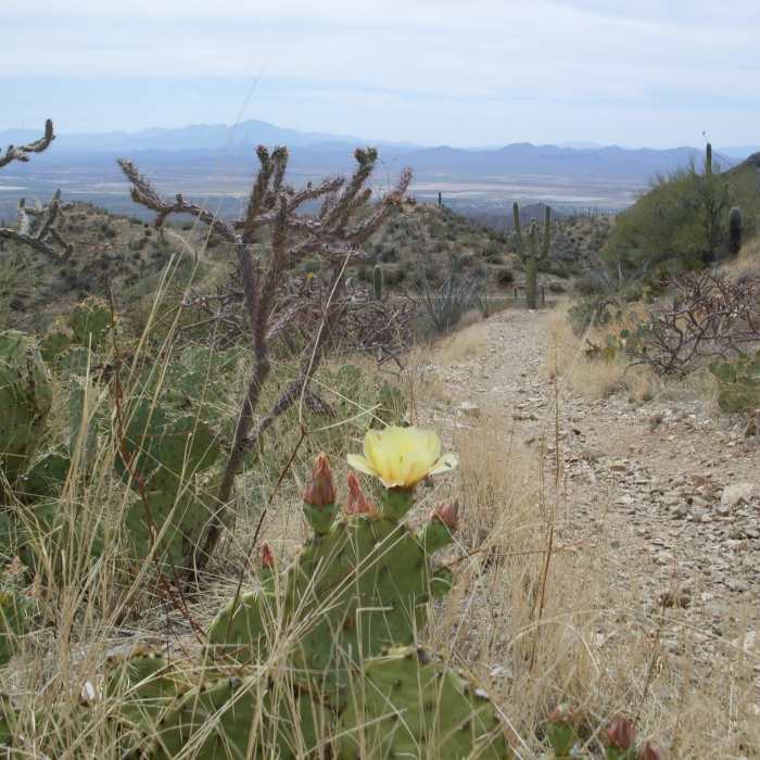
Cacti blossoms over Tucson.

Looking for more photos?

View All Photos
View Map
Driving Directions
Hike Trail

King Canyon Trail

4.2 (16 Ratings)
Rocky trails, sandy washes, towering saguaros, and plenty of Sonoran Desert wildlife.
3.9
mi
Distance
1,885
ft
Gain
moderate
Difficulty
BirdingCaveViewsWildflowersWildlife
Access Issues
This trail is open year-round. June through September are normally too hot to rxh during the day.

Route Details

Flatter
Steeper
3.92mi
Distance
1,885ft
Elevation Gain
227ft
Elevation Loss
50%
Max Grade
4,681ft
High Point
2,915ft
Low Point
Path Type
Point to Point
Description
The King Canyon Trailhead is located directly across from the Sonoran Desert Museum in a large parking lot. From here you have two options: start up the gravel covered jeep trail or drop down into the wash. If you choose the wash expect some scrambling up old cement barriers- remnants of the days of a more developed area. After about a mile the two paths converge and Sendero Esperanza trail and Mam-A-Gah picnic area will be on your left. Mam-A-Gah is a covered area with several picnic tables. This is a great place to stop and have lunch! At this junction keep heading North-East to continue on King Canyon Trail. The trail continues to climb for another 1.5 miles before reaching the ridge that joins with Sweetwater Trail. From here head North-West up a series a steep switchbacks. During this time be on the lookout for bat sanctuaries! You can normally see bats here at dusk. A mile later the trail ends at the junction with Hugh Norris Trail and Wasson Peak Trail.

Route Conditions

Report Conditions
No Condition Reports
Report Conditions

Nearby Hike Routes

Wasson Peak Circle Route

Hike Route

Wasson Peak Circle Route

Views
strenuous
7.98 mi
+1,955 ft
Brown Mountain

Hike Route

Brown Mountain

Views
strenuous
5 mi
+1,216 ft
Wasson Peak - Hugh Norris

Hike Route

Wasson Peak - Hugh Norris

Birding
strenuous
9.71 mi
+2,477 ft
Wasson Peak Summit

Hike Route

Wasson Peak Summit

Birding
moderate
9.1 mi
+2,179 ft
Thunderbird Trail

Hike Route

Thunderbird Trail

easy
4.02 mi
+538 ft
Wildflower Ridge Loop

Hike Route

Wildflower Ridge Loop

Dogs Allowed
easy
1.54 mi
+122 ft
Contributors
Austin Thomas
