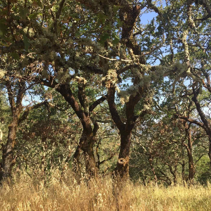
Near Lawndale Trail
After tall brush. Opens up to picnic table with pretty trees.

Looking for more photos?

View All Photos
Driving Directions
Hike Trail

Lawndale Trail

3.3 (3 Ratings)
This trail connects Annadel's Lawndale Road Trailhead to the main Marsh Trail.
2.9
mi
Distance
751
ft
Gain
moderate
Difficulty
Access Issues
No drones.

Route Details

Flatter
Steeper
2.9mi
Distance
751ft
Elevation Gain
41ft
Elevation Loss
30%
Max Grade
1,240ft
High Point
488ft
Low Point
Path Type
Point to Point
Description
If you're looking to get into Annadel State Park from the northwestern Lawndale Trailhead, you can use this trail to both ascend and descend back to your car. Look for the main trailhead sign from the small parking lot and simply follow the only main trail up until you reach the intersection with the Marsh Trail. You can also use this trail to connect with the Schultz Trail by either hiking up or down Schultz/Lawndale Road.

Route Conditions

Report Conditions
No Condition Reports
Report Conditions

Nearby Hike Routes

Lawson Loop

Hike Route

Lawson Loop

River/Creek
moderate
3.45 mi
+723 ft
Mount Hood via Goodspeed Trail

Hike Route

Mount Hood via Goodspeed Trail

Views
moderate
6.31 mi
+2,242 ft
Bald Mountain Loop

Hike Route

Bald Mountain Loop

Views
strenuous
6.68 mi
+1,880 ft
Vista Loop Trail

Hike Route

Vista Loop Trail

River/Creek
moderate
3.43 mi
+746 ft
North Sonoma Mtn Trailhead to Sonoma Mtn Peak

Hike Route

North Sonoma Mtn Trailhead to Sonoma Mtn Peak

Spring
moderate
9.15 mi
+1,750 ft
Annadel Park Channel Drive Loop

Hike Route

Annadel Park Channel Drive Loop

Birding
moderate
4.95 mi
+642 ft
Contributors
Dave Reed
