Ready to explore this trail?
View Trail Map in AppPath Type
Point to Point
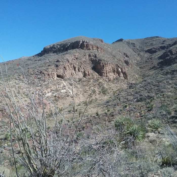
Named after El Paso's well-known Thunderbird Formation, a red rhyolite band along the mountains in the shape of a bird, this eponymous route is the main connection from the Lost Dog area to trails along the west central Franklin Mountains. Thunderbird begins where North Clyde's Trail turns underneath a series of three power lines. The path generally follows these lines for its entirety, making them a useful reference point in some of the more difficult to follow areas.
The initial portion of the trail is wide doubletrack, keeping close to the side of the mountains as it passes South Clyde's Trail and Transmountain Summit. Eventually the trail begins to narrow to rocky singletrack, crossing the first of many arroyos. The next mile is a rollercoaster as the path climbs and descends steep hills.
As the trail nears a water tank at the mile and a half point, at an intersection with Down and Out and Sanctum, southbound hikers may want to consider taking Thunderbird Bypass to the right due a steep and slippery descent over loose rock after Thunderbird Summit. In any case, the trail continues southbound, becoming indistinct for several hundred feet as it follows a rocky arroyo (refer to the Mobile App for help).
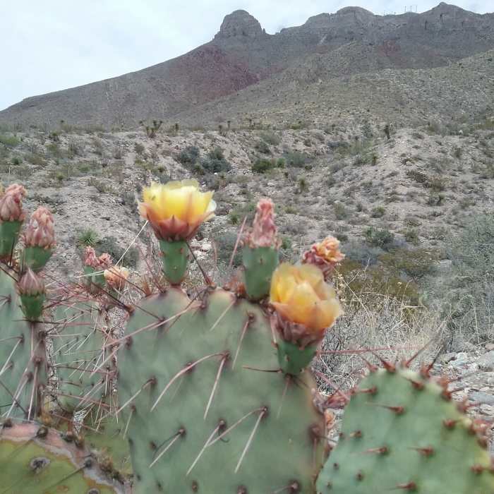
After another arroyo crossing and the aforementioned steep segment, Thunderbird meets back up with the Bypass at a rock cairn. It then climbs to the beginning of McKelligon Saddle, marked by two more cairns. While the trail appears to continue southbound, it quickly ends after a few hundred feet in a field of cacti and lechugillas.
No Condition Reports
Contributors

