Ready to explore this trail?
View Trail Map in AppThe Forest of Nisene Marks State Park has a day-use fee ($8.00 in 2017). Multi-day passes can also be purchased.
Path Type
Point to Point
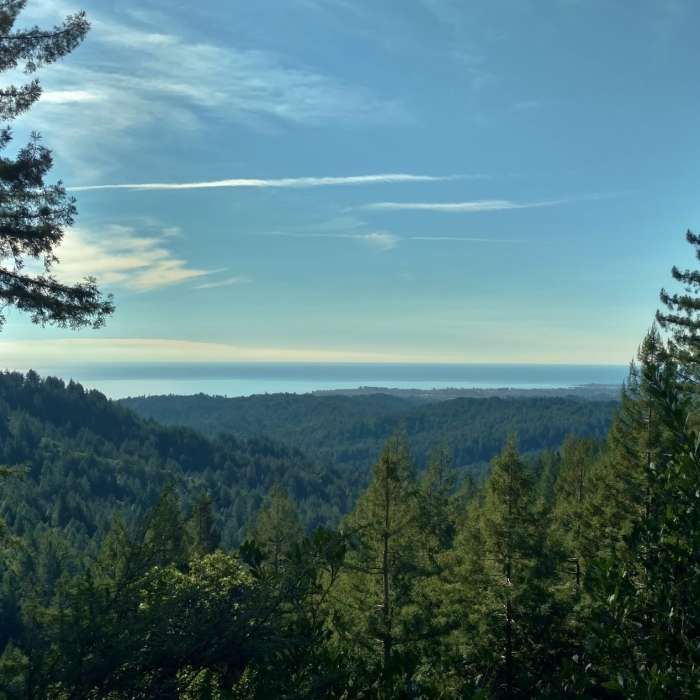
Hinckley Road starts deep in The Forest of Nisene Marks State Park at the Sand Point Overlook that has great views of the mountains and Pacific Ocean. Sand Point Overlook can be reached by taking Aptos Creek Fire Road for 5.8 miles from its trailhead. Hinckley Road can also be accessed close to its starting point, by West Ridge Trail and trails leading to West Ridge Trail.
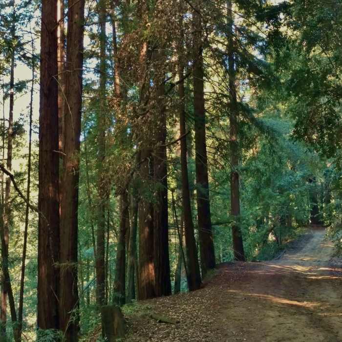
After enjoying the views at Sand Point Overlook, Hinckley Road enters the mixed redwood forest and begins to descend. For about the first 0.4 miles, the trail is on a ridge top that drops off steeply to the left (south). When the trees thin, views of the Pacific Ocean can be seen in the distance.
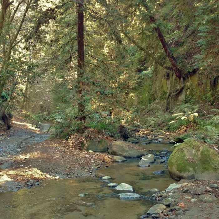
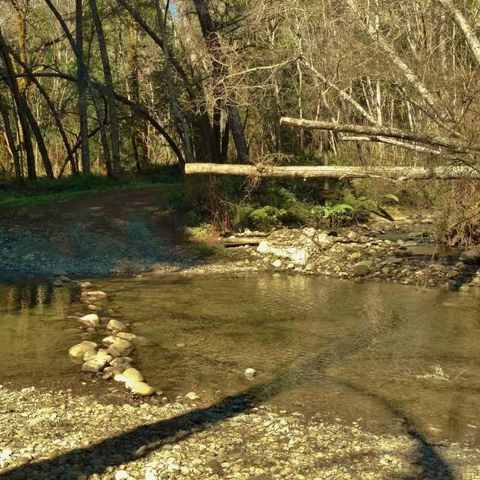
At the 0.4 mile mark, Hinckley Road passes West Ridge Trail on the left and a trail camp on the right. From here, the trail continues descending through the redwood forest, traversing a ridge hillside with Hinckley Creek at the bottom of the valley to the right (north). At first, Hinckley Creek is far enough away that one doesn't realize it's there. But as the trail descends, it approaches Hinckley Creek and eventually crosses it three times, starting at about the 2.5 mile mark. Then at the 3.0 mile mark, the trail crosses Soquel Creek right where Hinckley Creek empties into Soquel Creek. These creek crossings are unbridged, but shallow, with well-placed rocks (unless there has recently been a heavy winter storm to deepen them).
Shortly after crossing Soquel Creek, Hinckley Road emerges from the forest at Olive Springs Road. There are no parking areas here, and closed gates with "Private Property" signs guard the trail end. However, nowhere along the trail was there any indication of crossing onto private property. So it's unclear where this private property starts, and exactly how far one should hike on Hinckley Road. Mountain bikes (that don't need parking obviously), seem to enter at this end of Hinckley Road and say there is no problem, but that is unconfirmed.
No Condition Reports
Knobcone Point + Black Rock Falls Hike via Contour Trail
Knobcone Point + Black Rock Falls Hike via Contour Trail
Contributors

