Near Red Loop
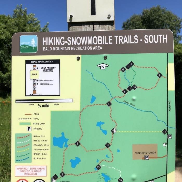
Trailhead map at parking off of Greenshield Rd (Marker #1)
Near Red Loop
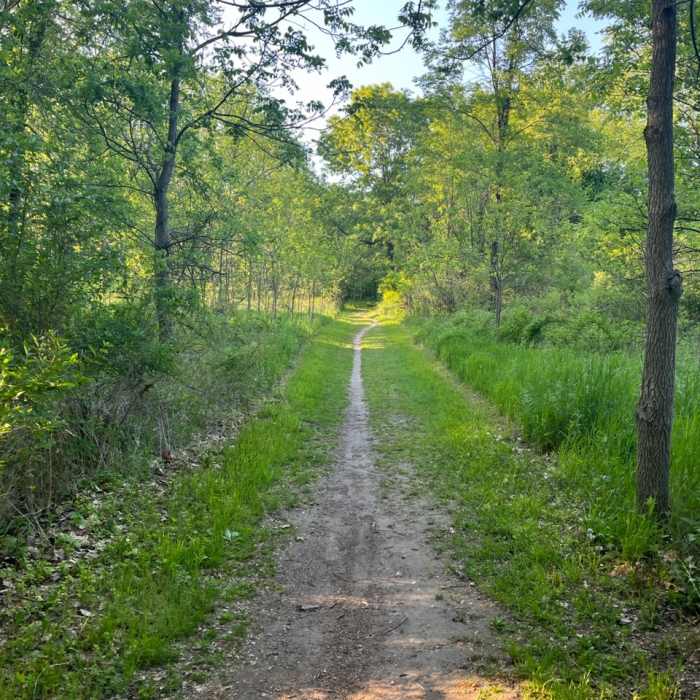
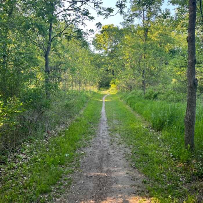
Starting section of the Loop, between marker 1-2.
Near Red Loop
Starting section of the Loop, between marker 1-2.

Looking for more photos?

View All Photos
Driving Directions
Hike Trail

Red Loop

4.3 (8 Ratings)
Well maintained trail with hills, some small rocks and exposed roots.
3.7
mi
Distance
240
ft
Gain
moderate
Difficulty
River/CreekWildflowers
Access Issues
"Technically" to park in dirt lot at trailhead a Recreation Passport is needed. No Horses allowed on this trail.

Route Details

Flatter
Steeper
3.71mi
Distance
240ft
Elevation Gain
249ft
Elevation Loss
10%
Max Grade
978ft
High Point
904ft
Low Point
Path Type
Point to Point
Description
Nice trail maintained by the Michigan DNR. There are rolling hills throughout, small rock patches here and there and some exposed tree roots...nothing too challenging. Most of the trail is well shaded during the "leafy" seasons, mostly dry with a few small muddy spots easily avoided. Outdoor gun range in the area so don't be surprised of gunshots in the distance. Trail markers followed (basically the red trail): 1, 2, 3, 4, 5, 6, 7, 8, 9, 10, 11, 5, 4, 12, 14, 15, 2, 1 (4 mile loop)

Route Conditions

Report Conditions
No Condition Reports
Report Conditions

Nearby Hike Routes

Inwood Trail 4.5-Mile Loop

Hike Route

Inwood Trail 4.5-Mile Loop

Birding
moderate
4.57 mi
+139 ft
Mountain Bike Trail

Hike Route

Mountain Bike Trail

Birding
moderate
9.92 mi
+781 ft
Green Trail

Hike Route

Green Trail

Fall Colors
easy
4.76 mi
+174 ft
Haven Hill

Hike Route

Haven Hill

Views
easy
1.81 mi
+185 ft
Highland State Recreation Area

Hike Route

Highland State Recreation Area

Birding
moderate
13.78 mi
+1,516 ft
Joe Prance Nature Trail and Butterfly Gardens

Hike Route

Joe Prance Nature Trail and Butterfly Gardens

Birding
moderate
0.96 mi
+0 ft
Contributors
Brian Crowe
