Near Rail Road Trail
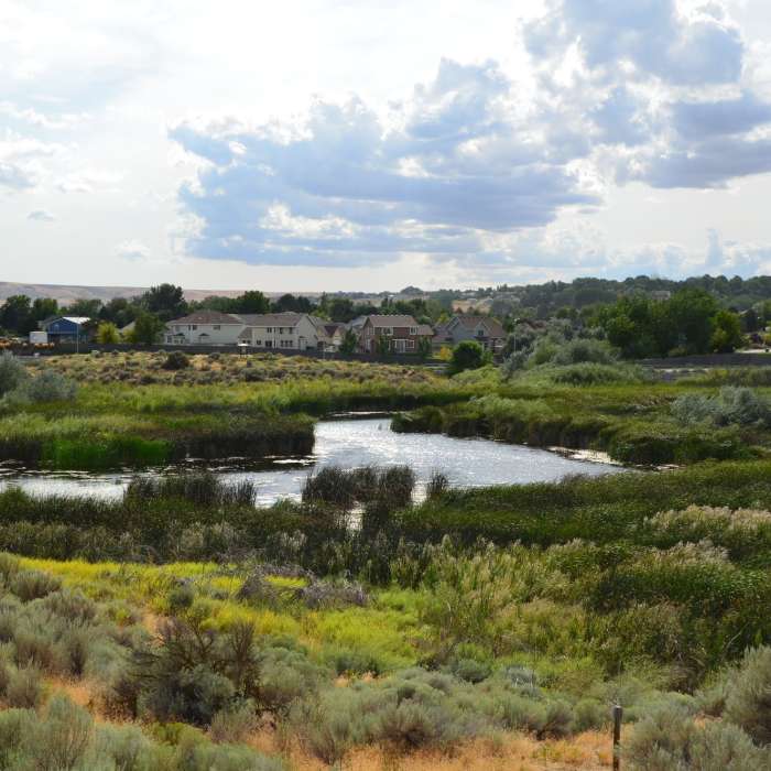
Beautiful view of the Amon Basis Preserve.
Near Rail Road Trail
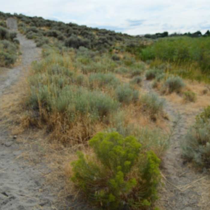
Upland shrub-steppe meets the wetlands. What a contrast.

Looking for more photos?

View All Photos
Driving Directions
Hike Trail

Rail Road Trail

5.0 (1 Rating)
A trail along the top of Amon Basin. It has a good view of the entire preserve and follows an old railroad bed.
1
mi
Distance
33
ft
Gain
easy
Difficulty
Family FriendlyViewsWildflowersWildlife

Route Details

Flatter
Steeper
0.95mi
Distance
33ft
Elevation Gain
51ft
Elevation Loss
10%
Max Grade
548ft
High Point
496ft
Low Point
Path Type
Point to Point
Description
This is a mostly flat trail on a gravel path. The trail sits on an old railway bed that has been converted to a path ideal for hiking. The trail starts/ends at the two access points of the Amon Basin Preserve and offers great views of the preserve along its length. Popular with the locals, this trail weaves through the upland shrub steppe and desert scenery.

Route Conditions

Report Conditions
No Condition Reports
Report Conditions

Nearby Hike Routes

Bateman Island Trail

Hike Route

Bateman Island Trail

Birding
easy
1.9 mi
+27 ft
Badger Mountain - Trailhead Park Loop

Hike Route

Badger Mountain - Trailhead Park Loop

Views
moderate
3.36 mi
+830 ft
Badger Mountain Trailhead

Hike Route

Badger Mountain Trailhead

Dogs Allowed
easy
2.58 mi
+803 ft
Audubon Trail Loop

Hike Route

Audubon Trail Loop

Birding
easy
0.79 mi
+0 ft
Dr. Rod Coler Audubon Nature Trail

Hike Route

Dr. Rod Coler Audubon Nature Trail

easy
2.12 mi
+0 ft
Burbank Slough Wildlife Trail

Hike Route

Burbank Slough Wildlife Trail

Views
easy
2.04 mi
+14 ft
Contributors
Cjs Eagleproj
