Near Lytle's Loop
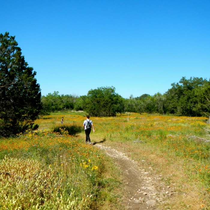
Lytle's Loop.
Near Lytle's Loop
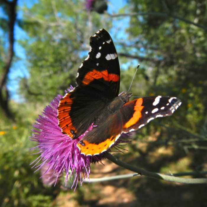
Government Canyon.

Looking for more photos?

View All Photos
View Map
Driving Directions
Hike Trail

Lytle's Loop

3.0 (4 Ratings)
The main front country trail, Lytle's Loop traverses through hill country brush and reclaimed grasslands.
4.5
mi
Distance
97
ft
Gain
moderate
Difficulty
Dogs AllowedViewsWildflowers

Route Details

Flatter
Steeper
4.49mi
Distance
97ft
Elevation Gain
105ft
Elevation Loss
10%
Max Grade
1,033ft
High Point
969ft
Low Point
Path Type
Point to Point
Description
The trail is an easy loop starting and ending with a paved section. Most of the trail is through juniper and cedar forest, while the middle section is through reclaimed grassland. There are lots of opportunities for wildflower viewing when in season. The front country trails of Government Canyon are the only dog-friendly trails in the park.

Route Conditions

Report Conditions
Anonymous Adventurer
Some Issues
Downed Tree
Looking for more condition reports?
View History

Nearby Hike Routes

Madla Loop

Hike Route

Madla Loop

Birding
moderate
0.85 mi
+98 ft
Emilie and Albert Friedrich Wilderness Park Outer Loop

Hike Route

Emilie and Albert Friedrich Wilderness Park Outer Loop

Birding
strenuous
6.29 mi
+770 ft
East Trail Route

Hike Route

East Trail Route

Birding
moderate
6.11 mi
+845 ft
Lime Kiln Loop

Hike Route

Lime Kiln Loop

Birding
moderate
1.29 mi
+180 ft
Pedernales Falls

Hike Route

Pedernales Falls

Family Friendly
moderate
0.74 mi
+171 ft
Enchanted Rock Tour

Hike Route

Enchanted Rock Tour

Family Friendly
moderate
6.16 mi
+785 ft
Contributors
Mitchell Murphy
