Near Pomo Canyon Trail
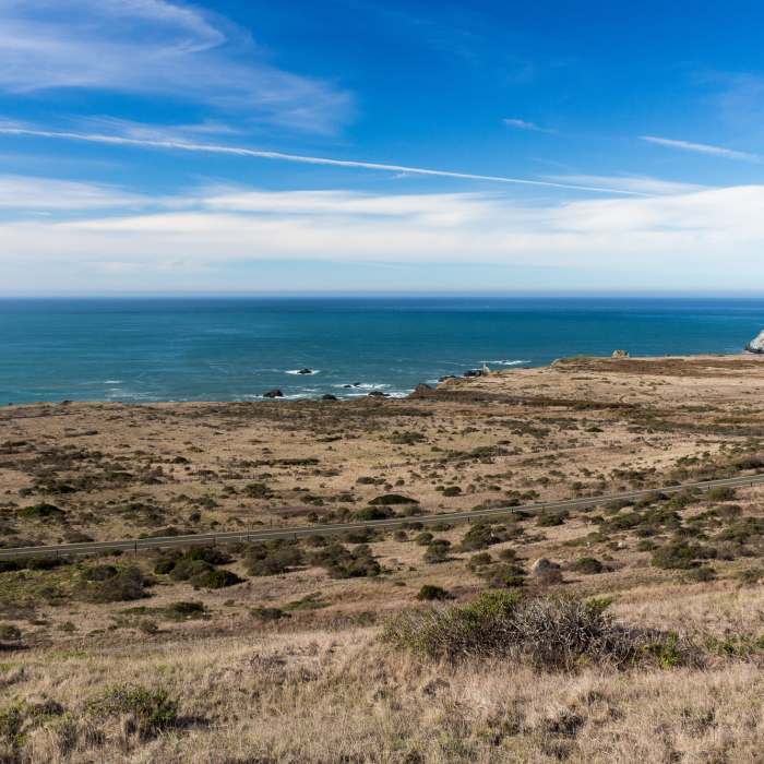
Coastal view from Pomo Canyon Trail
Near Pomo Canyon Trail
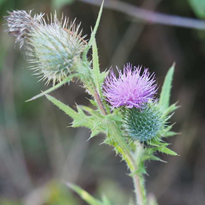
Pink Milk Thistle
Near Pomo Canyon Trail
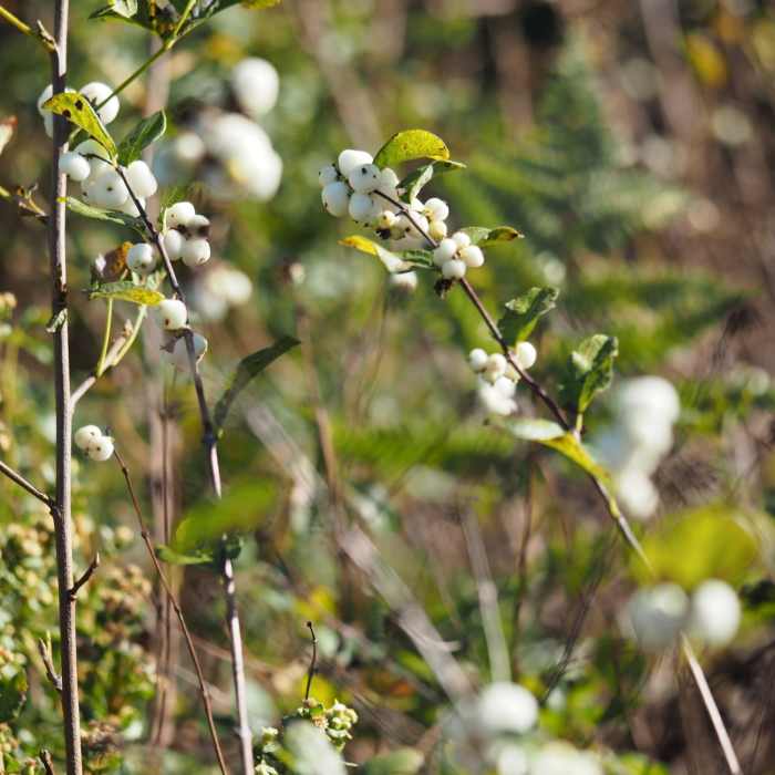
Common Snowberry

Looking for more photos?

View All Photos
Driving Directions
Hike Trail

Pomo Canyon Trail

4.0 (3 Ratings)
An ancient trading route for the Pomo and Miwok tribes taking you over the hill and through the woods.
2.7
mi
Distance
654
ft
Gain
moderate
Difficulty
Views

Route Details

Flatter
Steeper
2.74mi
Distance
654ft
Elevation Gain
726ft
Elevation Loss
25%
Max Grade
650ft
High Point
92ft
Low Point
Path Type
Point to Point
Description
You can park at Shell Beach for free until sunset. Cautiously cross Highway 1 to the gate where a sign reads Pomo Canyon Trail. The Pomo Canyon Trail follows an ancient trading route of the Pomo and Miwok people. The path weaves through lush redwood forests, oak woodlands and open grasslands, crossing seasonal streams en route to the ocean at Shell Beach. The first portion of the trail is mostly uphill but about halfway through the Pomo Canyon Trail it flattens out. You'll eventually reach a forest of old-growth trees and ferns. The trail exits the forest and you'll see up to a sign noting Shell Beach, Pomo Canyon, and Red Hill. Continuing on Pomo Canyon Trail will take you to the Pomo Canyon Campgrounds, which you'll reach after a somewhat steep drop.

Route Conditions

Report Conditions
No Condition Reports
Report Conditions

Nearby Hike Routes

Pomo - Red Hill Loop

Hike Route

Pomo - Red Hill Loop

Views
moderate
4.3 mi
+870 ft
Sea to Sky Trail

Hike Route

Sea to Sky Trail

Birding
strenuous
15.53 mi
+3,809 ft
Bodega Head Nature Trail

Hike Route

Bodega Head Nature Trail

Birding
easy
1.73 mi
+125 ft
Pinnacle Gulch - Shorttail Gulch Trail Loop

Hike Route

Pinnacle Gulch - Shorttail Gulch Trail Loop

Family Friendly
moderate
1.9 mi
+346 ft
Armstrong Redwoods Tour

Hike Route

Armstrong Redwoods Tour

Family Friendly
easy
1.54 mi
+70 ft
Salt Point Trail

Hike Route

Salt Point Trail

Views
easy
1.76 mi
+88 ft
Contributors
Kevin Bonner
