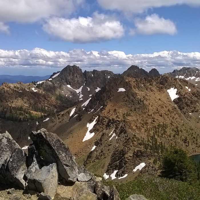
Near Siligo Peak South Ridge Trail
View from Siligo Peak.
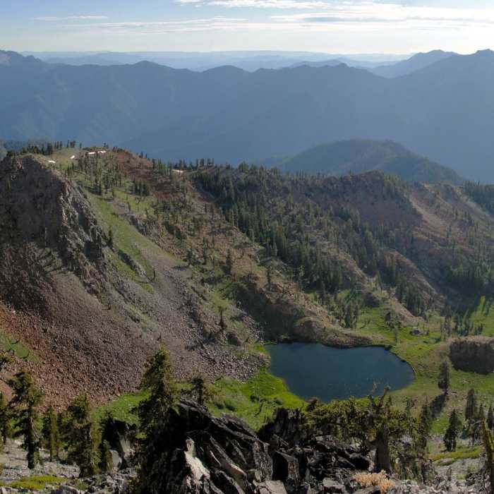
Near Siligo Peak South Ridge Trail
Diamond Lake can be seen from the summit of Siligo Peak.

Looking for more photos?

View All Photos
View Map
Driving Directions
Hike Trail

Siligo Peak South Ridge Trail

4.0 (3 Ratings)
A climb to the summit of Siligo Peak.
0.2
mi
Distance
417
ft
Gain
strenuous
Difficulty
Views
Access Issues
Free wilderness permits and campfire permits are required to enter the Trinity Alps Wilderness.

Route Details

Flatter
Steeper
0.24mi
Distance
417ft
Elevation Gain
0ft
Elevation Loss
30%
Max Grade
8,156ft
High Point
7,739ft
Low Point
Path Type
Point to Point
Description
From the Four Lakes Trail, this unmarked trail climbs the obvious southern ridge of Siligo Peak. Climb 350 feet to the summit where you'll be rewarded with excellent views of the Trinity Alps.

Route Conditions

Report Conditions
Anonymous Adventurer
Some Issues
Downed Tree
Anonymous Adventurer
Some Issues
Downed Tree
Looking for more condition reports?
View History

Nearby Hike Routes

Stonewall Pass + Echo Lake

Hike Route

Stonewall Pass + Echo Lake

Lake
extreme
12.22 mi
+3,953 ft
Alpine Lake

Hike Route

Alpine Lake

Lake
extreme
16.21 mi
+4,354 ft
Four Lakes Loop via Long Canyon

Hike Route

Four Lakes Loop via Long Canyon

Lake
moderate
17.42 mi
+5,890 ft
Lake Anna via Long Canyon

Hike Route

Lake Anna via Long Canyon

Lake
strenuous
4.58 mi
+3,911 ft
Emerald and Sapphire Lakes

Hike Route

Emerald and Sapphire Lakes

Lake
moderate
27.22 mi
+4,559 ft
Granite Lake

Hike Route

Granite Lake

Lake
moderate
9.92 mi
+2,165 ft
Contributors
Miguel Vieira
