Near South Fork National Recreation Trail
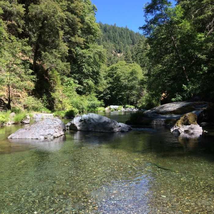
Nice place to cool off
Near South Fork National Recreation Trail
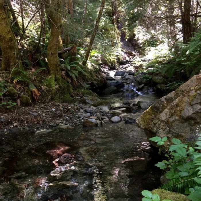
Marie Creek, named for early 20th century south fork resident Marie Lamb, where it crosses trail.

Looking for more photos?

View All Photos
View Map
Driving Directions
Hike Trail

South Fork National Recreation Trail

4.3 (3 Ratings)
A gentle ascent up the idyllic South Fork of the Trinity River.
15.8
mi
Distance
3,510
ft
Gain
moderate
Difficulty
River/CreekSwimmingWildflowers
Access Issues
Generally not accessible from December to May.

Route Details

Flatter
Steeper
15.77mi
Distance
3,510ft
Elevation Gain
2,913ft
Elevation Loss
30%
Max Grade
3,150ft
High Point
2,342ft
Low Point
Path Type
Point to Point
Description
The South Fork Nation Recreation Trail is a scenic and gentle climb up the South Fork Trinity River in Shasta-Trinity National Forest into the Yolla Bolly - Middle Eel Wilderness. The first 7.2 miles is a popular and easy former wagon road that is a now a wide doubletrack dirt path, commonly used by families and mountain bikers. Several small picturesque bridges allow easy crossing over the river. The remaining 9-10 miles is more rarely traveled.

Route Conditions

Report Conditions
No Condition Reports
Report Conditions

Nearby Hike Routes

North Yolla Bolly

Hike Route

North Yolla Bolly

Less Crowded
strenuous
7.04 mi
+2,446 ft
Founders' Grove Nature Trail

Hike Route

Founders' Grove Nature Trail

Family Friendly
easy
0.48 mi
+0 ft
Whiskeytown Falls

Hike Route

Whiskeytown Falls

Views
easy
1.38 mi
+851 ft
Crystal Creek Falls

Hike Route

Crystal Creek Falls

Views
easy
0.32 mi
+0 ft
Canyon Creek Falls

Hike Route

Canyon Creek Falls

Lake
extreme
15.05 mi
+3,282 ft
Canyon Creek Lakes Trail

Hike Route

Canyon Creek Lakes Trail

Commonly Backpacked
moderate
7.51 mi
+2,843 ft
Contributors
Dara Zimmerman
