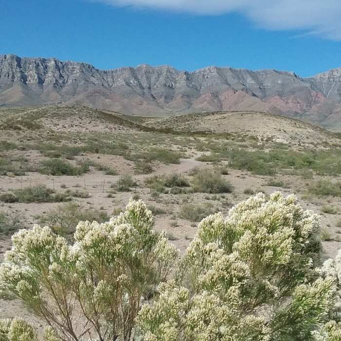
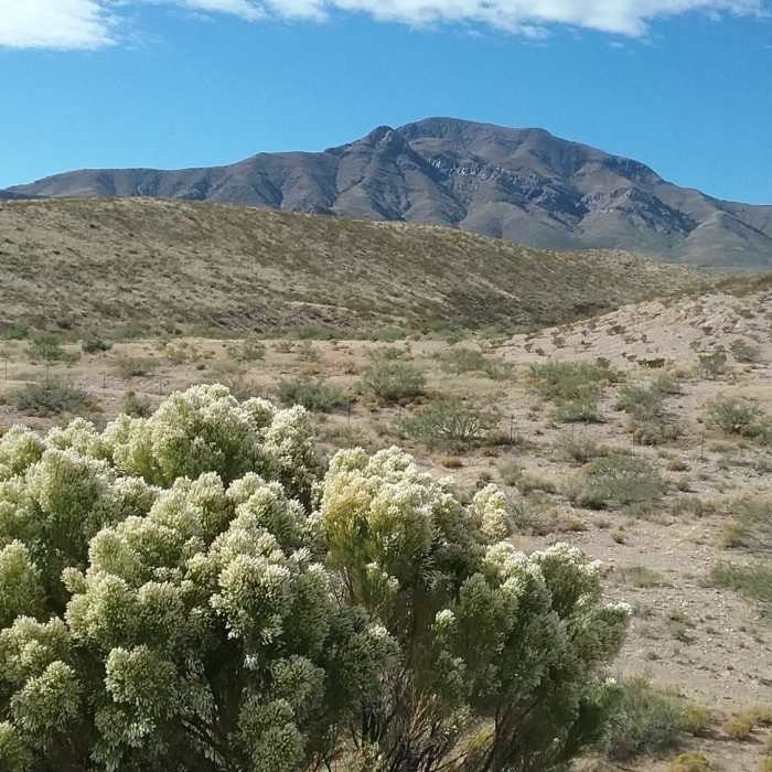
Ready to explore this trail?
View Trail Map in AppA pay box is located at the southern end of the trail, where it joins Fence Line. Adult entrance fees to Franklin Mountains State Park are $5 per person, or $2 in groups; children 12 and under are free. Annual passes can be purchased at the Tom Mays Unit, the park's main office in McKelligon Canyon, or online.
Path Type
Point to Point
Except for longer routes accessed via Northern Pass or Mundy's Gap, visitors reach all trails in the eastern Franklin Mountains system through the North Hills Dam Trail. Park at the south end of Chuck Heinrick Park. While the trail is typically joined just west of the parking area, the GPS track here begins at the northern end, where it connects to Levee Loop.
The trail proceeds from the corner of Levee Loop as a wide gravel doubletrack, crossing over paved concrete portions of the dam in some sections. As a completely manmade feature, the path is as flat and easy as a trail comes. Strangely, five turnstile gates are placed along the path; slow down when passing through these as rust keeps some from moving quickly enough to keep up with a fast pace.
Two segments connecting the main trail to the park are found after the second and fourth turnstiles. The southern segment is the main connection from the parking lot to the trail. Don't forget to stop at the pay station if using the north access point.
The dam trail ends at a pay station at the junction with Fence Line. From here it is a short distance to the "real" east side trails.
No Condition Reports
Contributors

