Near Quail Trail
The Trail
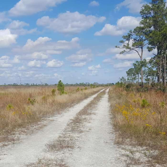
Near Quail Trail
End of a dry section of trail
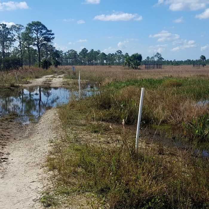
Near Quail Trail
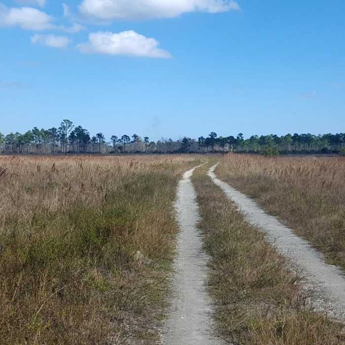
Quail Trail is an old road through the wetlands.
Near Quail Trail
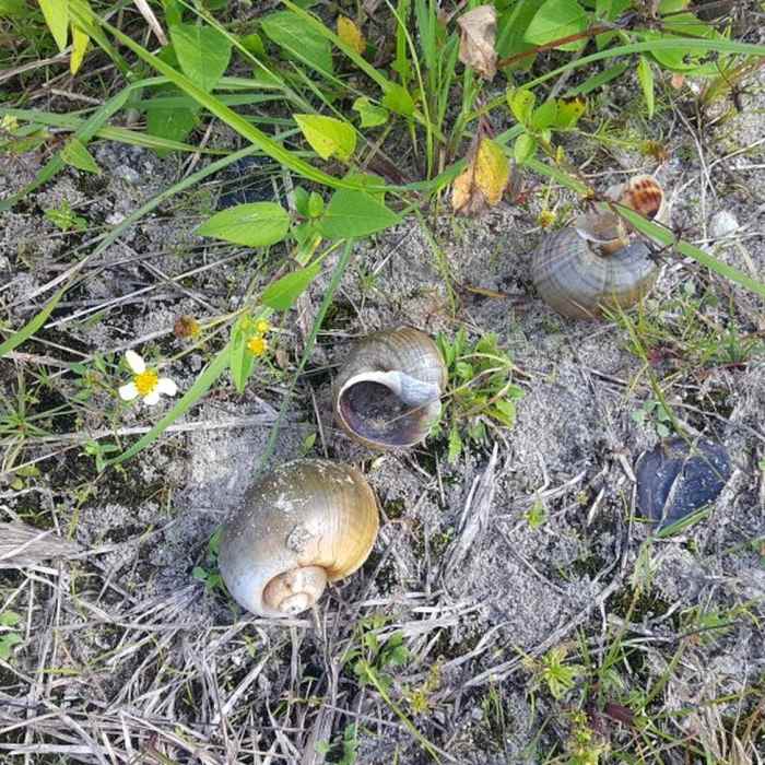
Snails

Looking for more photos?

View All Photos
View Map
Driving Directions
Hike Trail

Quail Trail

3.0 (1 Rating)
This is an old road along wetlands that have been recently restored.
1.4
mi
Distance
ft
Gain
easy
Difficulty
BirdingLakeRiver/CreekViewsWildlife

Route Details

Flatter
Steeper
1.41mi
Distance
0ft
Elevation Gain
0ft
Elevation Loss
5%
Max Grade
23ft
High Point
18ft
Low Point
Path Type
Point to Point
Description
This trail runs through an area that was restored from being overrun by invasive trees. It is now a natural area with boating and hiking. It does not allow bikes or dogs yet. The trail starts at the parking area and heads east then south following the doubletrack. At about 0.3 and 0.7 miles along, this trail connects with the Flagfish Loop Trail, which makes a small loop off to the east of this trail (in December 2017 both ends of the Flagfish Loop Trail were underwater). The trail continues past the end of the doubletrack, heading south. In December of 2017, this section was under about one foot of water. It connects with the Wiregrass Trail that forks off to make a loop to the west. For anglers, there is a short trail to two fishing platforms from the parking lot.

Route Conditions

Report Conditions
No Condition Reports
Report Conditions

Nearby Hike Routes

Riverbend Park

Hike Route

Riverbend Park

Birding
easy
4.39 mi
+0 ft
Green Cay Wetlands Boardwalk

Hike Route

Green Cay Wetlands Boardwalk

easy
1.02 mi
+0 ft
Wakodahatchee Wetlands

Hike Route

Wakodahatchee Wetlands

easy
0.75 mi
+0 ft
Yamato Scrub Natural Area

Hike Route

Yamato Scrub Natural Area

Birding
easy
4.28 mi
+14 ft
Daggerwing Nature Center

Hike Route

Daggerwing Nature Center

Family Friendly
easy
0.61 mi
+0 ft
Pondhawk Natural Area

Hike Route

Pondhawk Natural Area

easy
1.84 mi
+0 ft
Contributors
Chris Ho
