Near Laurel Canyon Trail
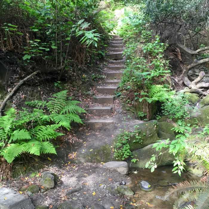
Stairs aid your passage along the Laurel Canyon Trail Spur.
Near Laurel Canyon Trail
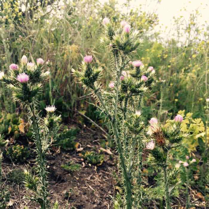
Thistles can be prevalent in Laurel Canyon.

Looking for more photos?

View All Photos
View Map
Driving Directions
Hike Trail

Laurel Canyon Trail

3.5 (2 Ratings)
A winding singletrack up, then down into the canyon and back up to re-join Laurel Canyon Road.
1.1
mi
Distance
443
ft
Gain
moderate
Difficulty
River/Creek

Route Details

Flatter
Steeper
1.13mi
Distance
443ft
Elevation Gain
71ft
Elevation Loss
25%
Max Grade
942ft
High Point
565ft
Low Point
Path Type
Point to Point
Description
Not to be confused with Laurel Canyon Road, which is a fire road - this one is accessed through a small spur off to the right along Lone Oak Road. Follow it up a small hill, then down and slightly left to descend down into the canyon. Here you may find a small creek crossing, before heading up the wooden stairs and through steep switchbacks to re-join Laurel Canyon Road.

Route Conditions

Report Conditions
Anonymous Adventurer
All Clear
Anonymous Adventurer
All Clear
Looking for more condition reports?
View History

Nearby Hike Routes

Jewel Lake Loop

Hike Route

Jewel Lake Loop

Lake
easy
0.81 mi
+65 ft
Peace Circle: Wildcat Peak from Little Farm

Hike Route

Peace Circle: Wildcat Peak from Little Farm

Family Friendly
moderate
3.77 mi
+744 ft
Wildcat Peak, San Pablo Reservoir, and Inspiration Point Loop

Hike Route

Wildcat Peak, San Pablo Reservoir, and Inspiration Point Loop

Lake
strenuous
10.4 mi
+1,634 ft
Nimitz Way Trail

Hike Route

Nimitz Way Trail

Family Friendly
moderate
4.36 mi
+521 ft
Tilden Park Loop

Hike Route

Tilden Park Loop

Family Friendly
moderate
4.24 mi
+1,003 ft
Lake Anza Trail

Hike Route

Lake Anza Trail

Dogs Allowed
easy
0.73 mi
+76 ft
Contributors
Scot Hacker
