Ready to explore this trail?
View Trail Map in AppA 4x4 high clearance vehicle is recommended after the Middle Fork Campgrounds as the potholes are quite large and should be taken slowly. Go early in the day because the trailhead fills up rather quickly.
Path Type
Point to Point
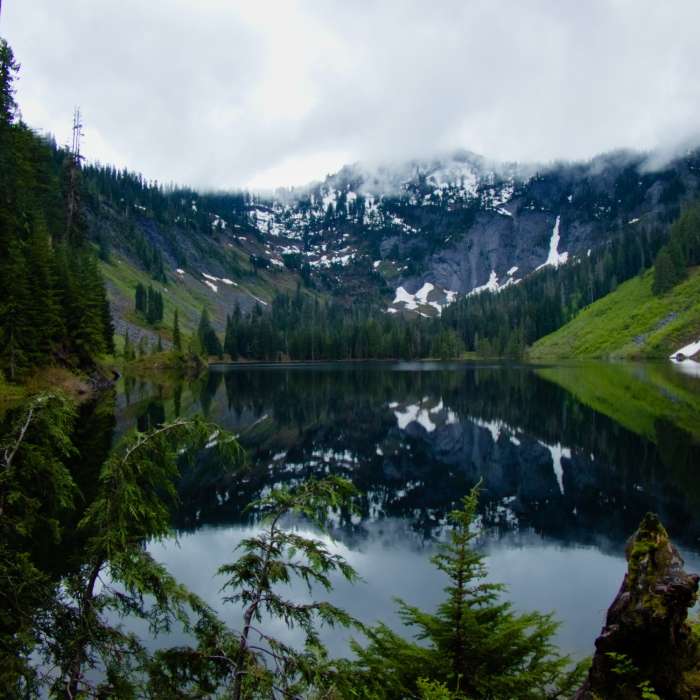
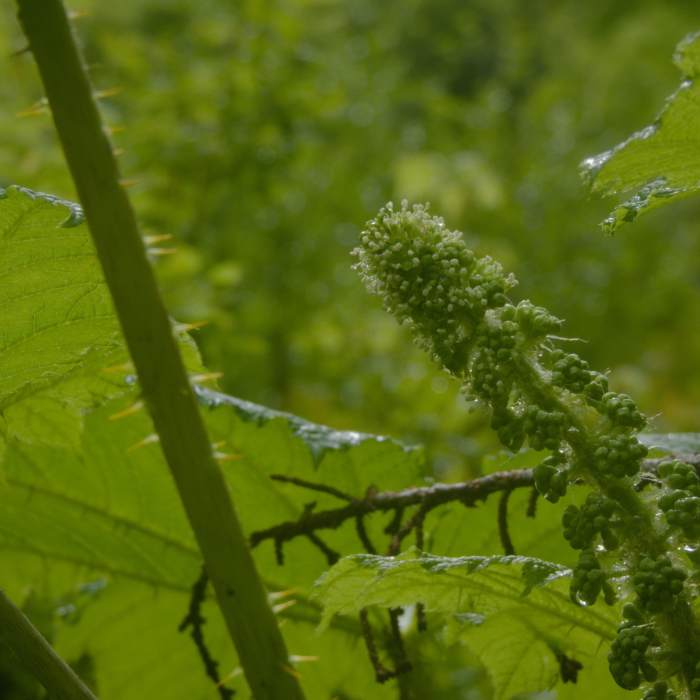
Marten Lake is a beautiful lake in the Alpine Lakes Wilderness. The trail begins by turning north three miles into the Snoqualmie Lake Trail, about 60 feet before the first falls and bridge. The trail is difficult to follow as there are a ton of fallen trees, making the trail seem nonexistent in places. GPS is recommended here as there are many offshoots and dead ends. The trail is also marked loosely with pink ribbons tied around branches, keep a look out for them. After 0.5 miles the trail leaves the forest and opens into an overgrown meadow rife with Bunchberry flowers and Devil's Stick stalks with plenty of thorns.
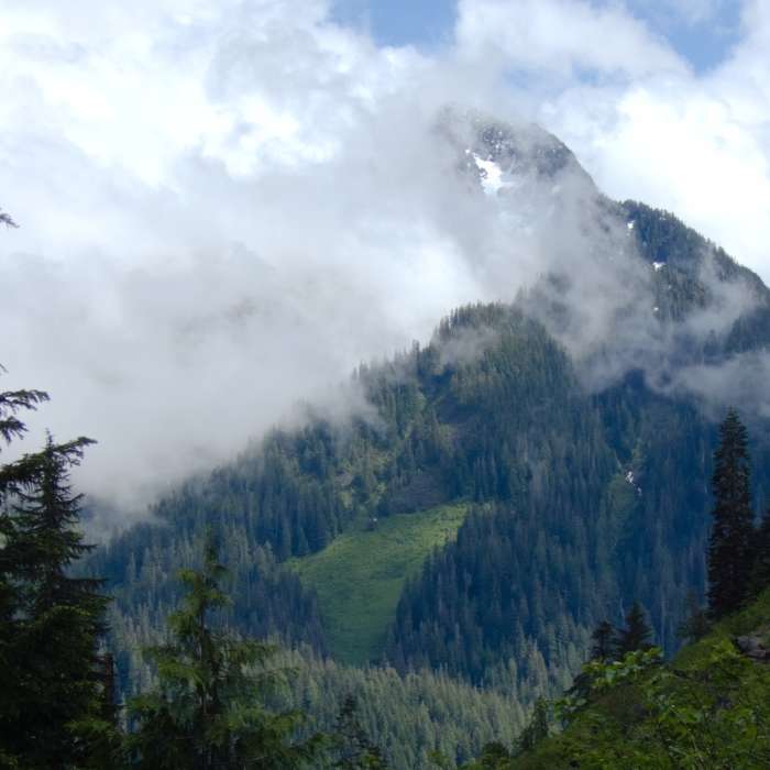
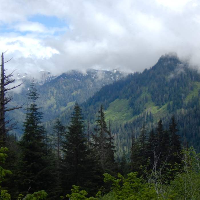
The trail is singletrack here, but if you turn around you'll see amazing views of Treen Peak. Long pants and sleeves are recommended. The meadows eventually close in to more forested cover with plenty of mud and micro water falls, again marked with pink ribbons. Expect near 40 degree terrain around mile 0.9, using tree roots to climb upwards after the meadow. The final push is relaxed as the last 0.1 of a mile strolls through a very small boulder field and can be navigated with GPS and the pink ribbons. The trail finally dumps into a small clearing just east of Marten Lake, with absolute phenomenal views of Rooster Mountain to the west which are reflected in Marten Lake on a calm day. Once in the clearing on the right side of the large downed tree separating you from the lake, there's a small trail that goes down to the waters edge.
The descent should be taken cautiously especially after a good rain, as it can be very slippery. There are several offshoots of the trail that lead to dead ends on descent. Once passed the meadow there are seemingly two trails that are intertwined that aren't noticed when heading up. Pink ribbons seem to mark both of these trails, and as long as you run in to the Snoqualmie Lake Trail at the bottom you'll know to head right and find your car.
All Clear
Looking for more condition reports?
Contributors

