Ready to explore this trail?
View Trail Map in AppPath Type
Point to Point
The Jonas Creek Trail begins along the Forney Creek Trail and immediately crosses Forney Creek on a footlog. Fifty yards above the crossing, the trail enters Backcountry Camp 70, Jonas Creek.
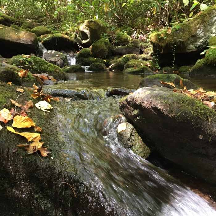
Upon leaving the campsite, the trail enters a pleasant stream-side excursion following an old logging grade. Just shy of a half-mile, the trail crosses the stream in a difficult rock-hop, proceeds 145 yards, then switches back across the stream in another rock-hop. At this juncture, the trail angles sharply to enter a narrow steep-sided cove.
From here the trail and stream begin to run closely together. In places the stream takes over the trail, making the hiking wet and messy. Up ahead, the trail makes two additional crossings - both crossings can be difficult when water is running high. After another 215 yards, the trail crosses Jonas Creek for the fifth and final time, now on a footlog, and then turns away from the stream for a steep course along Little Jonas Creek up the eastern flank of Welch Ridge.
A quarter-mile up Little Jonas Branch, the trail crosses the stream and begins following Yanu Branch. The grade becomes noticeably steeper as the trail winds through a landscape of scattered boulders. Just beyond a footlog over Yanu Branch, the trail begins negotiating a series of grade-mitigating switchbacks, remnants of the logging railroad. Four switchbacks follow in quick succession and then, after a quarter-mile interval, another pair. A final switchback directs the trail away from Yanu Branch and into a climb up Yanu Ridge.
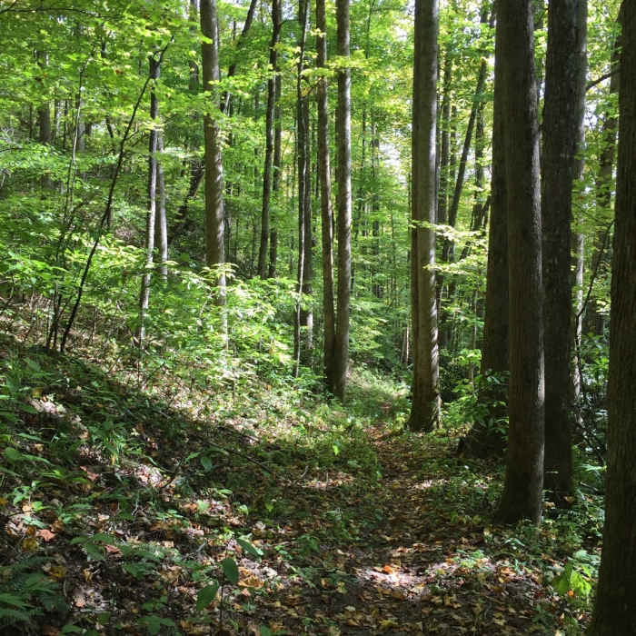
Soon the rocky course moderates to a hard-packed dirt track that is fairly free of obstacles. The trail generally follows the contours of the slope where various plants form tight corridors.
After a sharp turn, the trail enters the drier confines of a southern exposure. The last half-mile is marked by a short rhododendron tunnel and a final return to open woodland. The Jonas Creek Trail terminates in a nondescript intersection with the Welch Ridge at Silers Bald.
This content was contributed by author Ken Wise. For a comprehensive hiking guide to the Great Smoky Mountains and to see more by Ken, click here.
No Condition Reports
Contributors

