Near Upper Rock Creek Canyon Trail
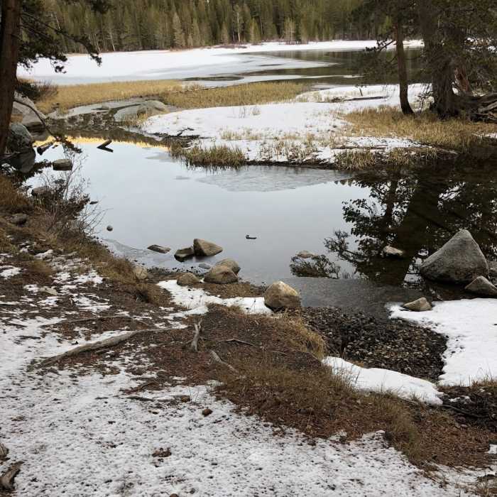
Southwest end of the Rock Creek reservoir at the bottom of the cascade
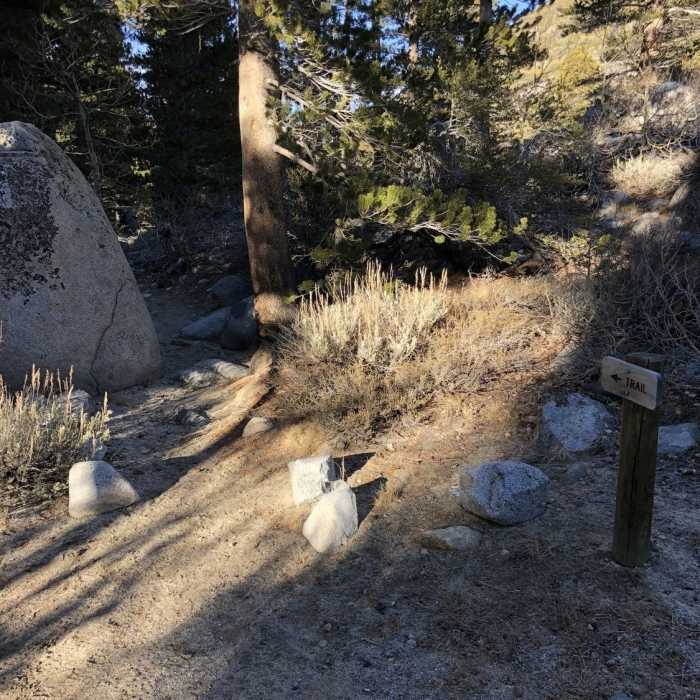
Near Upper Rock Creek Canyon Trail
This can be confusing. The trail looks like it keeps going straight, but it ends up going up a tree and into a knot hole. Turn right and cross the bridge.

Looking for more photos?

View All Photos
Driving Directions
Hike Trail

Upper Rock Creek Canyon Trail

4.5 (2 Ratings)
This trail gets you to the lake, where other trails begin.
3.2
mi
Distance
842
ft
Gain
moderate
Difficulty
Family FriendlyLakeLakefrontRiver/CreekViewsWaterfallWildlife
Access Issues
It is common for Rock Creek Road to be closed in the winter.

Route Details

Flatter
Steeper
3.2mi
Distance
842ft
Elevation Gain
31ft
Elevation Loss
35%
Max Grade
9,720ft
High Point
8,885ft
Low Point
Path Type
Point to Point
Description
This trail starts at the parking lot for the East Fork Camping area. There are not many trail markers to follow, but trail is often used therefore relatively easy to follow. From the parking area, head south from the trailhead. At about 0.6 miles, there is a large rock and then a bridge on the right. Once you cross the bridge, the trail essentially parallels the creek all the way to the lake as it gradually climbs up the drainage. Around 1.9 miles, the trail passes through Pine Grove Campground, then continuing south it brushes past a small pond about 2.6 miles in. About three miles in, the trail makes a somewhat steep climb up the final stretch to the lake. It meets the lake then parallels it for a short distance to to its terminus at the boat launch area. In the winter, there is often some snow and ice so make sure you bring trekking poles.

Route Conditions

Report Conditions
No Condition Reports
Report Conditions

Nearby Hike Routes

Hilton Lakes

Classic Hike Route

Hilton Lakes

Fall Colors
strenuous
11.19 mi
+2,530 ft
Mount Morgan South

Hike Route

Mount Morgan South

Lake
strenuous
5.06 mi
+4,030 ft
Morgan Pass and Gem Lake

Hike Route

Morgan Pass and Gem Lake

Family Friendly
moderate
7.72 mi
+1,217 ft
Mono Pass Trail to Summit Lake

Hike Route

Mono Pass Trail to Summit Lake

Commonly Backpacked
strenuous
7.9 mi
+1,970 ft
McGee Pass Trail

Hike Route

McGee Pass Trail

Lake
strenuous
29.37 mi
+6,752 ft
Lower Rock Creek Trail

Hike Route

Lower Rock Creek Trail

Views
strenuous
15.43 mi
+1,957 ft
Contributors
Dustin Porter
