
Near Orange Trail
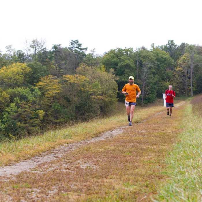
Running across the Germantown Dam during the 2015 Germantown 50K.
Near Orange Trail
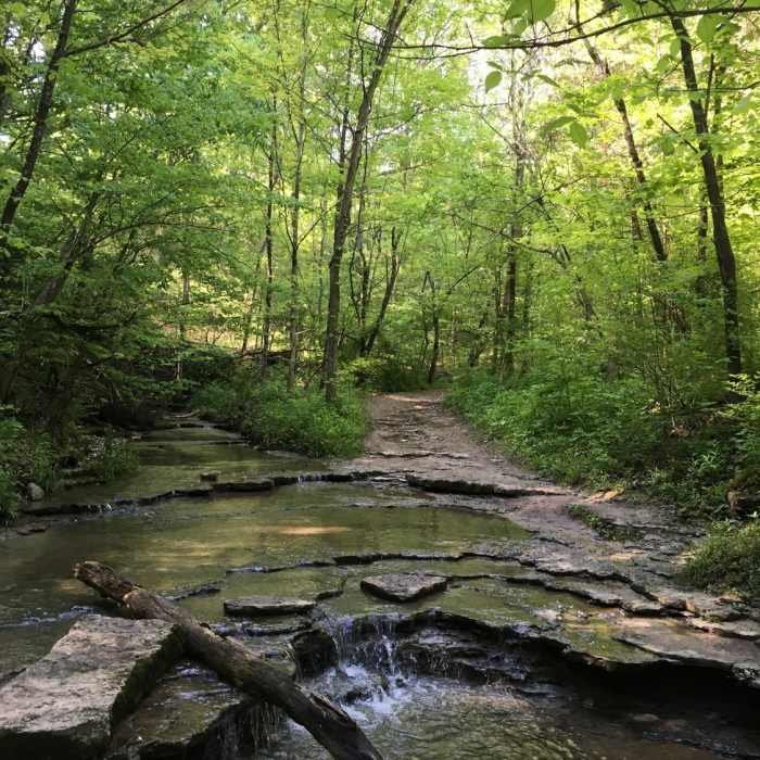
Creek Crossing at the Siebenthaler
Near Orange Trail
Trail Intersection #16 is bolstered by an informative kiosk, plenty of shade, and a picnic area.
Near Orange Trail
A flat stretch during the 2015 Germantown 50K.
Near Orange Trail
Fall woodlands make for a pleasant sight on the Orange Trail.

Looking for more photos?

View All Photos
View Map
Driving Directions
Hike Trail

Orange Trail

4.1 (10 Ratings)
A great loop around Germantown Metropark.
7.7
mi
Distance
732
ft
Gain
moderate
Difficulty
BirdingFall ColorsRiver/CreekViewsWaterfallWildflowers

Route Details

Flatter
Steeper
7.68mi
Distance
732ft
Elevation Gain
732ft
Elevation Loss
20%
Max Grade
891ft
High Point
739ft
Low Point
Path Type
Loop
Description
The Orange Trail itself is the crown jewel of !Germantown Metropark. This eight-mile loop offers varied terrain ranging from rooted singletrack to short sections of wide flat dirt roads. The stretch from the dam to the visitor center is the most demanding, with steep up and down trails and many roots along the way. The portion of this trail on the eastern side of the creek near the campground is very wide and smooth (and downhill when hiking clockwise).

Route Conditions

Report Conditions
No Condition Reports
Report Conditions

Nearby Hike Routes

Germantown Metropark

Hike Route

Germantown Metropark

Birding
moderate
13.67 mi
+1,412 ft
Patton Loop Germantown

Hike Route

Patton Loop Germantown

Fall Colors
moderate
6.93 mi
+710 ft
Twin Valley Trail: Backpacking Route

Hike Route

Twin Valley Trail: Backpacking Route

Birding
moderate
26 mi
+2,241 ft
Orange Trail

Hike Route

Orange Trail

Birding
moderate
5.98 mi
+660 ft
Orange Trail

Hike Route

Orange Trail

Birding
easy
4.11 mi
+145 ft
Miller Ecological Park Loops

Hike Route

Miller Ecological Park Loops

Birding
easy
2.62 mi
+56 ft
Contributors
Derek Griffiths
