Ready to explore this trail?
View Trail Map in AppPath Type
Point to Point
To access the trailhead, head down Phoenix Street to Gibson Ct., where you'll be able to park near the start of the Doubletrack. Hike 100 yards up the doubletrack, and look hard to the left for the trail. If you reach a significant doubletrack climb, you've gone too far.
From here, your singletrack adventure begins. The trail goes up, and down, with some loose areas. There are plenty of rocky sections to keep you on your toes. After a little while, you'll come to a hard right where you'll meet the first steep climb. Once on the other side, it's all down on a tight and rough downhill.
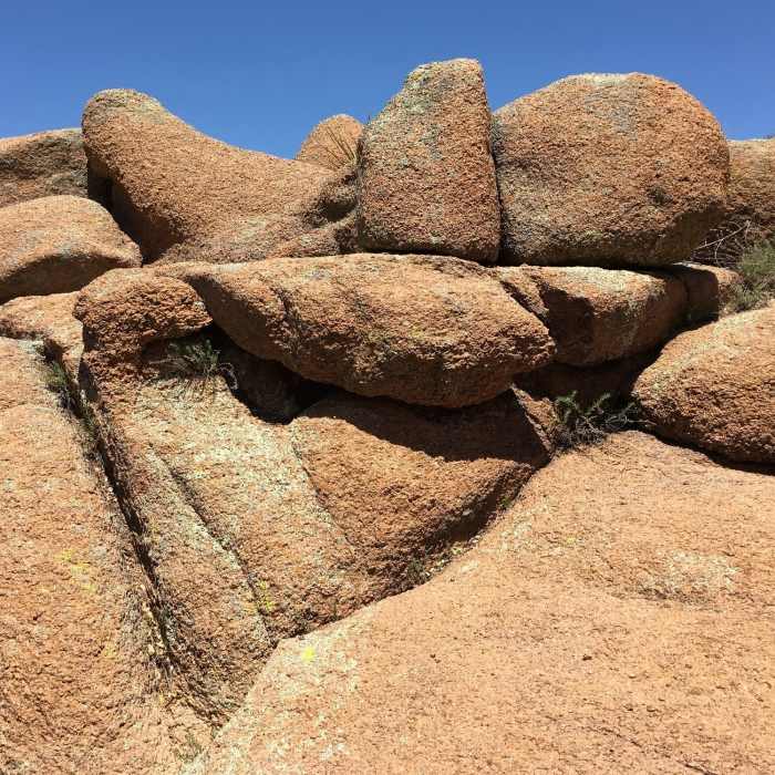
After a few hundred yards when you see lots of big boulders on the left, look for a very hidden right hand turn. This trail is lollipop shaped, and this area is where the "candy" part of the hike begins. You'll start out on a climb which will take you across a rugged trail section. From there, you'll complete the loop with a downhill, which will spit you out just about 100 yards from where you started the climb. This completes the loop, and you'll just need to head back out along the "stick" to make your way back to your vehicle.
Follow the trail, keeping left all the way to where you started. If you get onto one of the wrong trails and end up back on Phoenix St., just hike up the road back to Gibson Ct, where you parked.
No Condition Reports
Contributors

