
Ready to explore this trail?
View Trail Map in AppNote that Greer Road is recently paved, but it is not a public road, only an access road for park employees.
Path Type
Point to Point
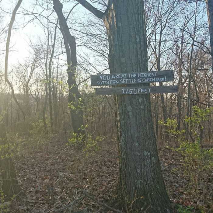
Access the trail from the Greer Road or at the Calumet shelter near the entrance to the park. You make an initial very short climb from the parking lot and at the "peak" will see a sign signifying the highest point in the park at around 1,250 feet.
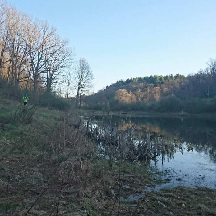
The trail then heads downhill, crosses a road, and brings hikers to a "Y" in the trail. Take the Lake Loop to the right. The Lake Loop is identified by a simple wooden sign on a tree. Staying right will take you to Greer Road. In half a mile, you'll come out to the small lake/pond. At the other end of the lake, you'll make a sharp left up the hill climbing 100 feet or so before leveling out and making your descent to Greer Road.
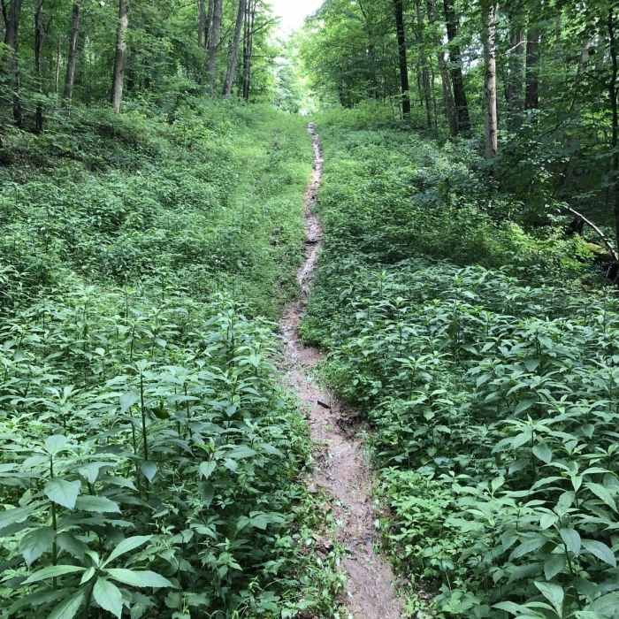
The trail is smooth with a few sections with mud or roots. The climbs and descents are steep and one section has loose rock, but in general it is a good trail for a hike.
You'll have access to plenty of other unknown trails, but they don't all loop back, so you may want to study up at the park website or use the Mobile App.
No Condition Reports
North Park Multi-Trail Circuit (Orange - Green - Red/Blue Blazes)
North Park Multi-Trail Circuit (Orange - Green - Red/Blue Blazes)
Contributors

