


Ready to explore this trail?
View Trail Map in AppMatterhorn Creek Trailhead is difficult enough to get to in the summer months. During winter and parts of spring, the way is generally closed somewhere along the Henson road, about 10 miles below the trailhead.
Path Type
There and Back
The Uncompahgre Peak Out and Back route begins at the Matterhorn Creek Trailhead, which features a signed dirt parking area with space for approximately five to six tents nearby but no restroom facilities. From the upper trailhead, the hike begins on a clear, mellow trail, reaching a junction in a clearing at approximately 0.75 miles. Turning right, the trail leads up a series of switchbacks, continuing north at 11,300 feet. The route reaches the treeline around 11,600 feet, continuing along the Ridge Stock Driveway to a junction at 12,000 feet.
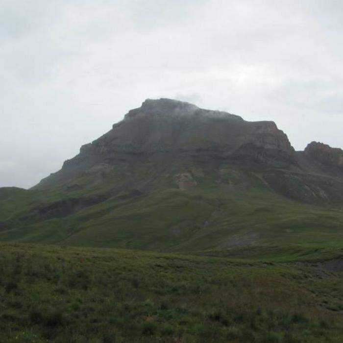
At the 12,000-foot junction, turning left leads to Wetterhorn Peak, while turning right continues along the Ridge Stock Driveway toward Uncompahgre Peak. The trail follows a stream on clear singletrack and sections of rocky dirt road, offering excellent views. The path continues north-northeast through alpine tundra for about one mile, with Uncompahgre Peak visible ahead. The trail then curves to the right, crossing streams over the next two miles of flat to slightly descending terrain. Hikers should remain on the main trail and avoid attempting shortcuts up the loose, steep talus gullies on the left.
Approximately five miles from the trailhead, the route turns off the Ridge Stock Driveway, switching back to the left onto the designated Uncompahgre Peak Trail. From this junction, the final climb to the summit covers about one mile with approximately 1,500 feet of elevation gain. The trail climbs steeply via switchbacks to the left of the peak's prominent mesa-like formation, passing a rocky section to reach the south ridge at 13,800 feet. The trail then hugs the west side of the ridge.
The crux of the hike involves navigating approximately 200 feet of Class 2+ scrambling over steep, loose rock. Above this section, a flat area lies just below the final 100 feet of elevation gain. Multiple trail segments converge to lead hikers to the broad, flat summit of Uncompahgre Peak, which offers expansive views of the San Juan Mountains. Hikers return via the same route to the Matterhorn Creek Trailhead, or they can combine this route with Wetterhorn Peak.
No Condition Reports
Contributors

