Near Dutch Henry Falls
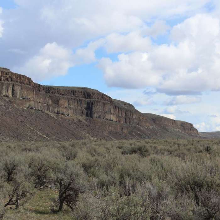
View of Moses Coulee Wall from Dutch Henry Falls Trail.
Near Dutch Henry Falls
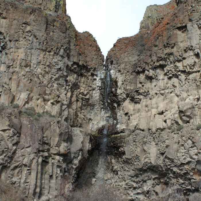
Dutch Henry Waterfall
Near Dutch Henry Falls
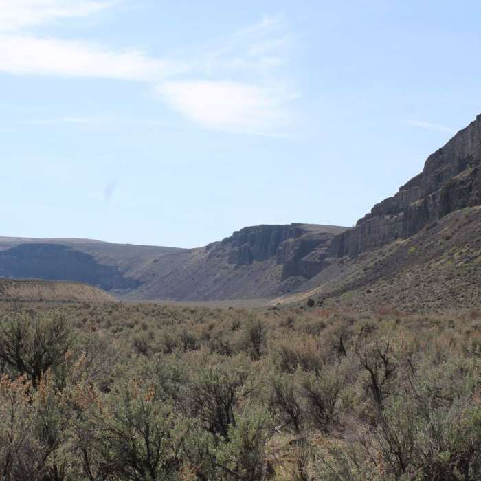
Southwestern view of Moses Coulee Wall from Dutch Henry Falls Trail.

Looking for more photos?

View All Photos
Driving Directions
Hike Trail

Dutch Henry Falls

5.0 (1 Rating)
It takes you on an open path through thick shrub-steppe, and leads to a riparian area below Dutch Henry Falls.
0.3
mi
Distance
26
ft
Gain
moderate
Difficulty
BirdingFamily FriendlyGeologically SignificantRiver/CreekViewsWaterfallWildflowers

Route Details

Flatter
Steeper
0.26mi
Distance
26ft
Elevation Gain
3ft
Elevation Loss
5%
Max Grade
1,792ft
High Point
1,763ft
Low Point
Path Type
Point to Point
Description
This trail is found on The Nature Conservancy's Moses Coulee Preserve. It takes you on an open path through thick shrub-steppe, and leads to a riparian area below Dutch Henry Falls. It's a very easy half-mile hike on an out-and-back trail and provides stunning views of the Moses Coulee in every direction. In addition to the year-round beauty provided by the sagebrush and the basalt rocks of the intense coulee walls, one is likely to see wildflowers in bloom beginning in April. While it is not too rocky, there are some larger rocks that stick out of the ground along the path. In summer, be cautious of snakes and ticks.

Route Conditions

Report Conditions
No Condition Reports
Report Conditions

Nearby Hike Routes

Steamboat Rock

Hike Route

Steamboat Rock

Birding
strenuous
2.18 mi
+707 ft
Swakane Canyon

Hike Route

Swakane Canyon

Views
strenuous
5.4 mi
+2,414 ft
Ancient Lakes Loop Trail

Hike Route

Ancient Lakes Loop Trail

Commonly Backpacked
moderate
4.52 mi
+219 ft
Squilchuck State Park Loop

Hike Route

Squilchuck State Park Loop

Fall Colors
moderate
5.19 mi
+609 ft
Xanadu Trail

Hike Route

Xanadu Trail

Views
moderate
3.68 mi
+0 ft
Clara and Marion Lakes

Hike Route

Clara and Marion Lakes

Fall Colors
moderate
2.59 mi
+981 ft
Contributors
Lane Justus
