Near Roaring Run Trail
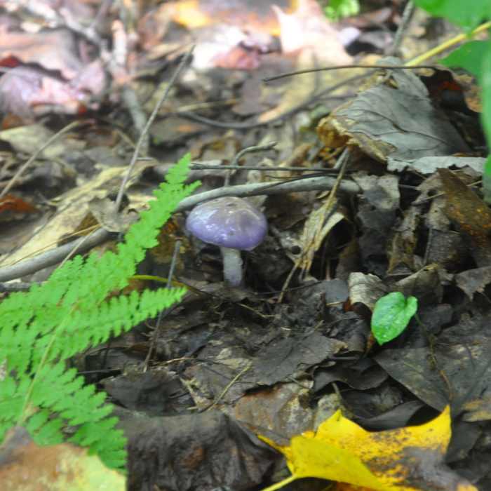
Cortinarius iodes which looks better than it tastes.
Near Roaring Run Trail
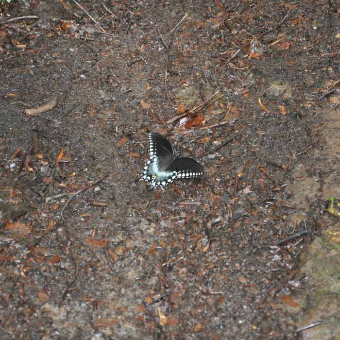
Spicebush Swallowtail on the trail.
Near Roaring Run Trail
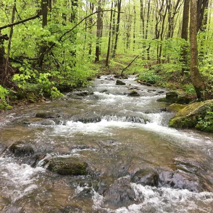
Roaring Run acts as a beautiful trailside companion as you explore the forest.
Near Roaring Run Trail
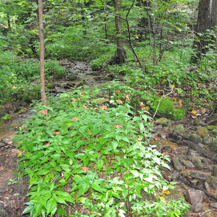
One of the 26 stream crossings and nice stand of Crimson beebalm.

Looking for more photos?

View All Photos
View Map
Driving Directions
Hike Trail

Roaring Run Trail

4.3 (4 Ratings)
3.5
mi
Distance
175
ft
Gain
moderate
Difficulty
Fall ColorsRiver/CreekSpringWaterfallWildlife

Route Details

Flatter
Steeper
3.53mi
Distance
175ft
Elevation Gain
854ft
Elevation Loss
10%
Max Grade
2,676ft
High Point
1,876ft
Low Point
Path Type
Point to Point
Description
There are parking spots on both ends with good signage to mark the trailhead. Trail intersections are well marked with signs. The trail is hard packed dirt and easy to follow due to the abundant yellow blazes and it follows an old logging road. In the summer it is shaded the entire length. The middle section of the trail parallels the melodious, cascading Roaring Run and crosses it 26 times. Water proof boots that go over the ankle will allow passage with dry feet, and it is possible to traverse the entire trail in the driest seasons resulting in only damp shoes. The area is a lush mixed eastern deciduous forest with laurel trees at lowest elevations along the stream, and the ground cover is dominated by ferns. There are only a few, obscure features that indicate human activity other than the trail itself so the area does have a very natural appearance. The trail was well maintained with a only a few obstructions/fallen trees across the trail and no areas were the trail is washed out (August 2018).

Route Conditions

Report Conditions
No Condition Reports
Report Conditions

Nearby Hike Routes

Tour of Roaring Run

Hike Route

Tour of Roaring Run

Less Crowded
strenuous
14.53 mi
+2,308 ft
North Woods / LHHT Loop

Hike Route

North Woods / LHHT Loop

Birding
strenuous
8.74 mi
+1,626 ft
Wolf Rocks

Hike Route

Wolf Rocks

Views
easy
3.81 mi
+165 ft
Laurel Highlands Trail: Ohiopyle State Park

Hike Route

Laurel Highlands Trail: Ohiopyle State Park

Fall Colors
strenuous
10.76 mi
+2,820 ft
Ferncliff Trail

Hike Route

Ferncliff Trail

Family Friendly
easy
1.77 mi
+154 ft
Cucumber Falls

Hike Route

Cucumber Falls

Views
easy
1.01 mi
+124 ft
Contributors
Michael Zianni
