Ready to explore this trail?
View Trail Map in AppThe park is open from sunrise to sunset daily. They close the gate in the evening and will ticket cars left in the lot, so make sure you are out at sunset.
Path Type
Loop
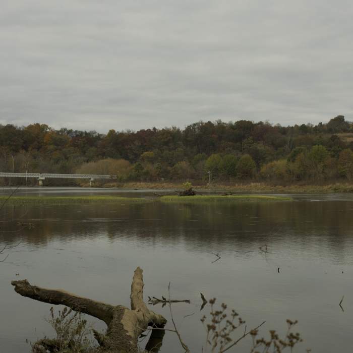
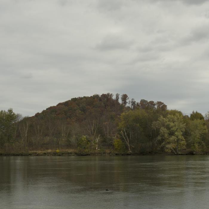
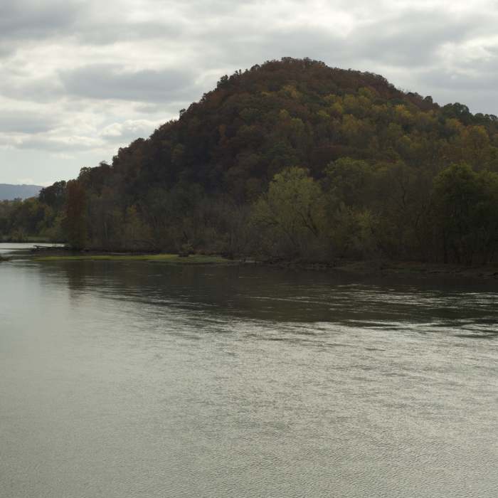
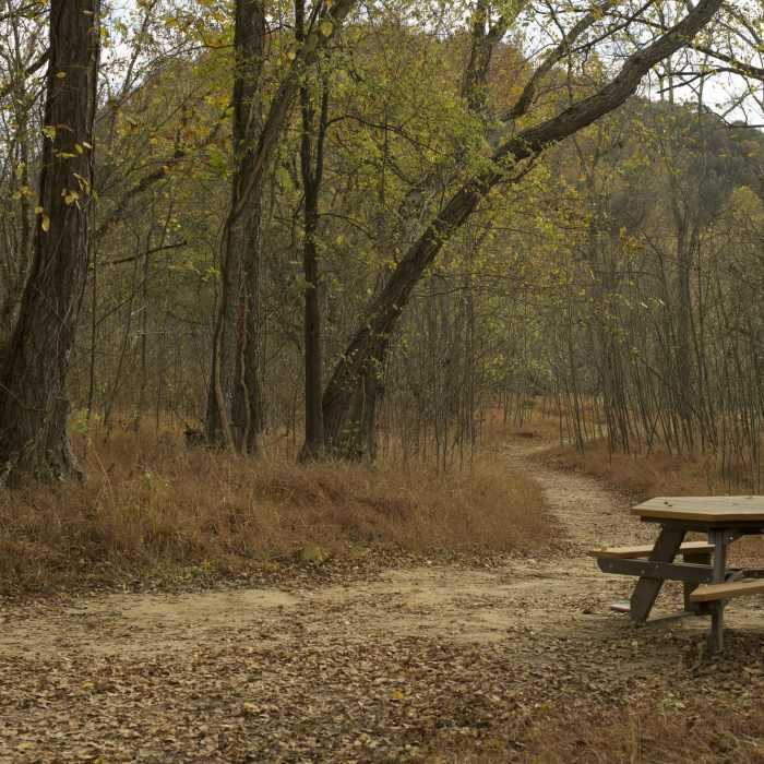
To access the Island Loop Trail, the easiest way to access the trail is to park at the parking lot near the Bluebird Barn and hike down the Bobwhite Accessible Trail and cross the bridge to the island. At the end of the Bobwhite Accessible Trail, you can turn to the left or the right. If you go to the right and pass the picnic table that is there, the trail transforms into a singletrack dirt trail that follows the shore of the French Broad River where you can enjoy nice views of the river and surrounding mountain.
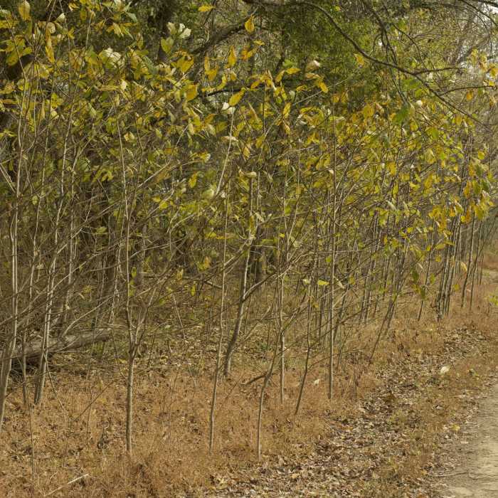
If you have fishing gear, you can fish from the bank and watch as others fish from boats in the river. After about 0.2 of a mile, there is a trail that turns to the right and leads out to the end of the island where there is a bench where you can sit and enjoy views of the river. Backtrack to the main trail and follow it back toward the bridge, pass under the bridge, and continue to hike through the forests toward the other end of the island.
As you approach the other end of the island, there is a short trail (Island Point Trail) that breaks off to the right and leads to a bench at the head of the island, where you can enjoy views of the river and explore the bank of the river. Continue counter-clockwise along the river and pass a couple more benches and arrive back at the trailhead. From here, you can take the Bobwhite Accessible Trail back across the river and either go back to your vehicle, or enjoy other trails in the park.
All Clear
Looking for more condition reports?
Contributors

