Near Pancho
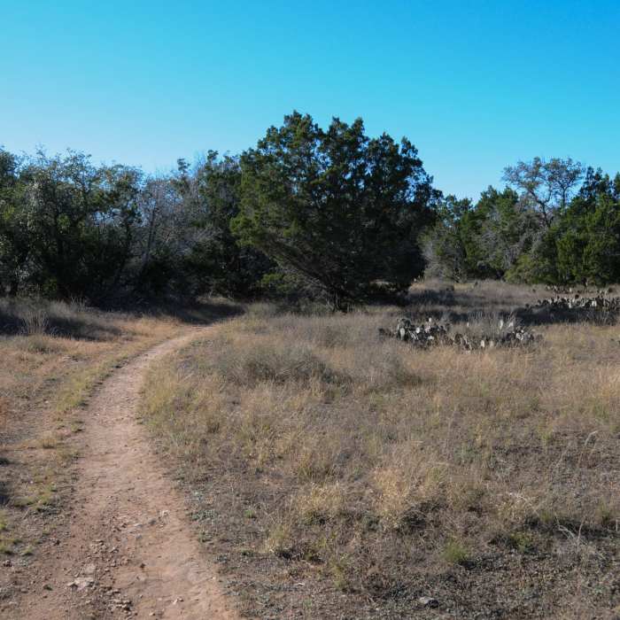
A typical scene along the Pack Trail

Looking for more photos?

View All Photos
Driving Directions
Hike Trail

Pancho

3.0 (1 Rating)
Multi-use trail cutting down the middle of Pace Bend Park.
1
mi
Distance
22
ft
Gain
easy
Difficulty

Route Details

Flatter
Steeper
1.04mi
Distance
22ft
Elevation Gain
28ft
Elevation Loss
5%
Max Grade
820ft
High Point
781ft
Low Point
Path Type
Point to Point
Description
This trail can be picked up from the northern parking area/trailhead at the intersection with the Pack Trail, Powerline MTB Skills Area, and Straddle Yer Saddle trails. This multi-use trail is shared with bikers and horses, so be courteous. It basically bisects the northern part of Pace Bend Park as it gently winds south(ish) through thin forest. Expect sun exposure on this trail. You'll pass Lefty on the east and then Chicken Foot on the west before Pancho bends to the west. Then you'll pass a small connector between Pancho and Well Road, and Chicken Foot twice before the trail ends at Pack Trail.

Route Conditions

Report Conditions
No Condition Reports
Report Conditions

Nearby Hike Routes

Hamilton Greenbelt & Hurst Hollow Preserve

Hike Route

Hamilton Greenbelt & Hurst Hollow Preserve

Birding
moderate
2.81 mi
+261 ft
Lakeway Canyonlands & Mt. Lakeway Scenic View

Hike Route

Lakeway Canyonlands & Mt. Lakeway Scenic View

Birding
moderate
5.68 mi
+903 ft
Lakeway Canyonlands to Rough Hollow Cove

Hike Route

Lakeway Canyonlands to Rough Hollow Cove

Birding
strenuous
5.8 mi
+784 ft
Hamilton Pool Loop

Hike Route

Hamilton Pool Loop

Cave
moderate
0.59 mi
+167 ft
River Place Nature Trail

Hike Route

River Place Nature Trail

Birding
strenuous
5.39 mi
+987 ft
Turkey Creek Trail

Hike Route

Turkey Creek Trail

River/Creek
moderate
2.61 mi
+166 ft
Contributors
Karl W
